
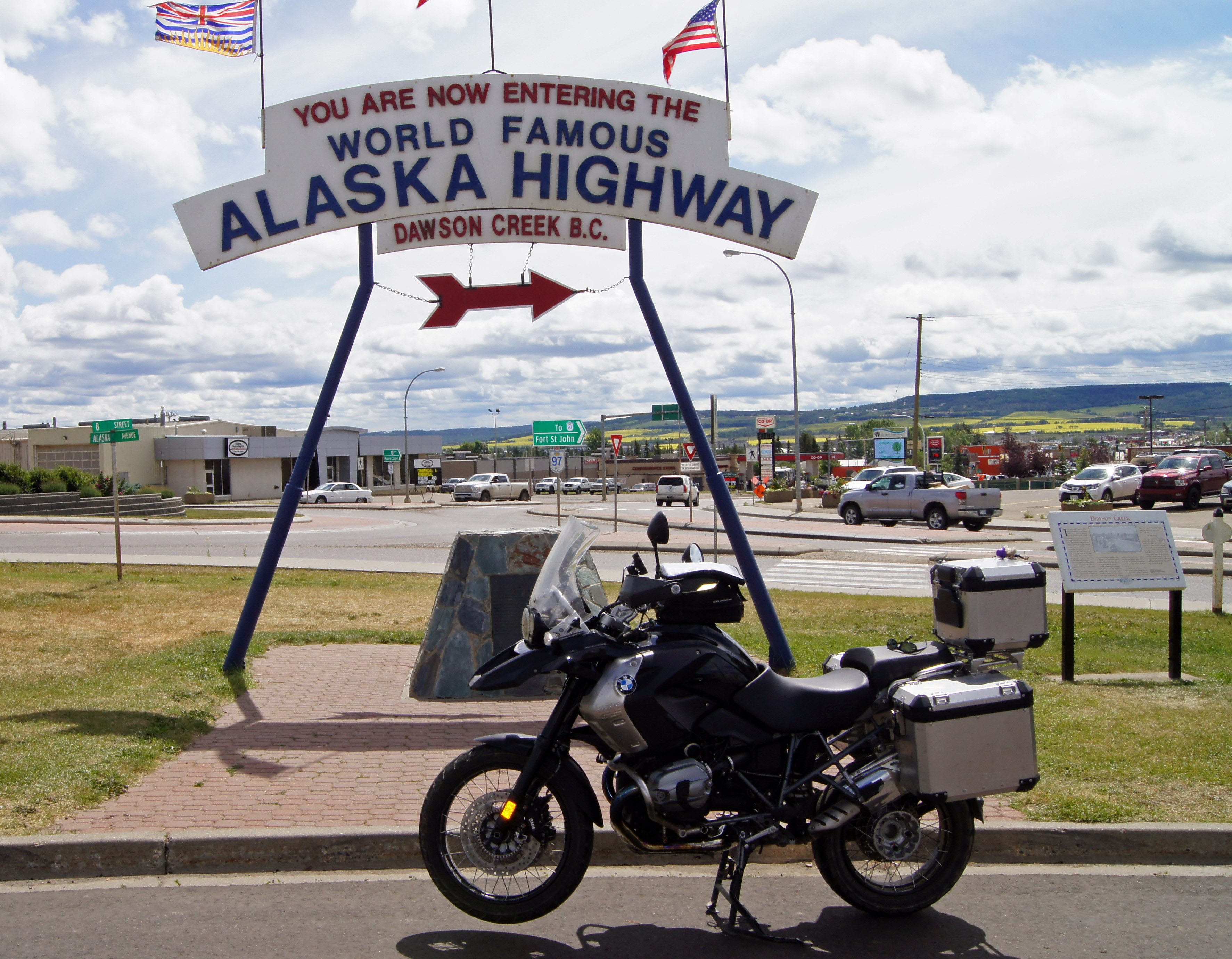
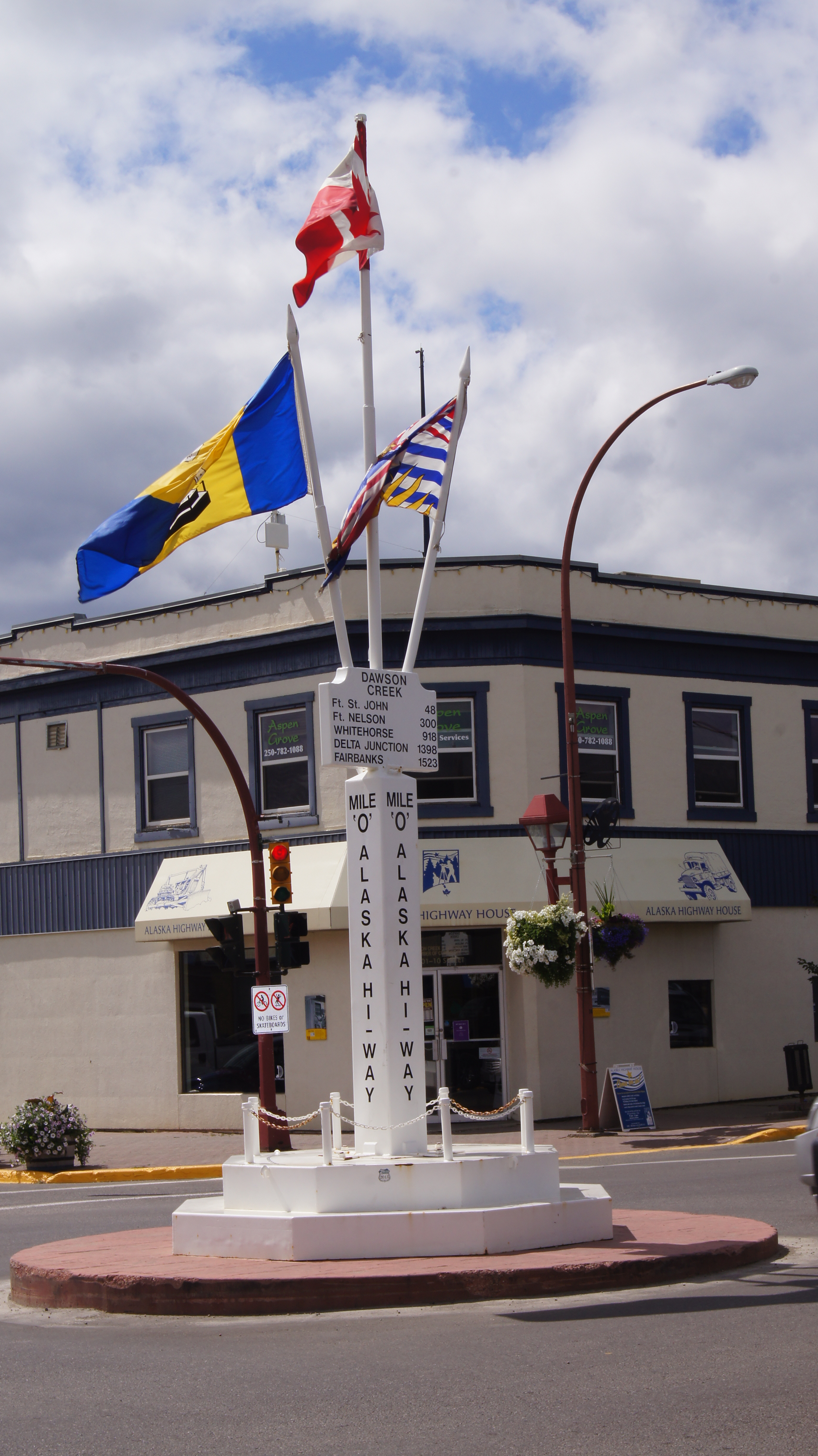
Mile Zero
Today was all about the town of Dawson Creek BC, that about 11,000 people call home. Founded in 1919 but not incorporated until 1958, much happened in between. The Northern Alberta Railway put down its end-of-steel in 1930 and the whole town was moved 2 miles east, just to meet it (although it seems that buying more rail might have been cheaper). In 1942 the US Army started building the Alaska Highway from here and in 1943 they also accidentally ignited 60,000 cases of dynamite and leveled the business area of the town.
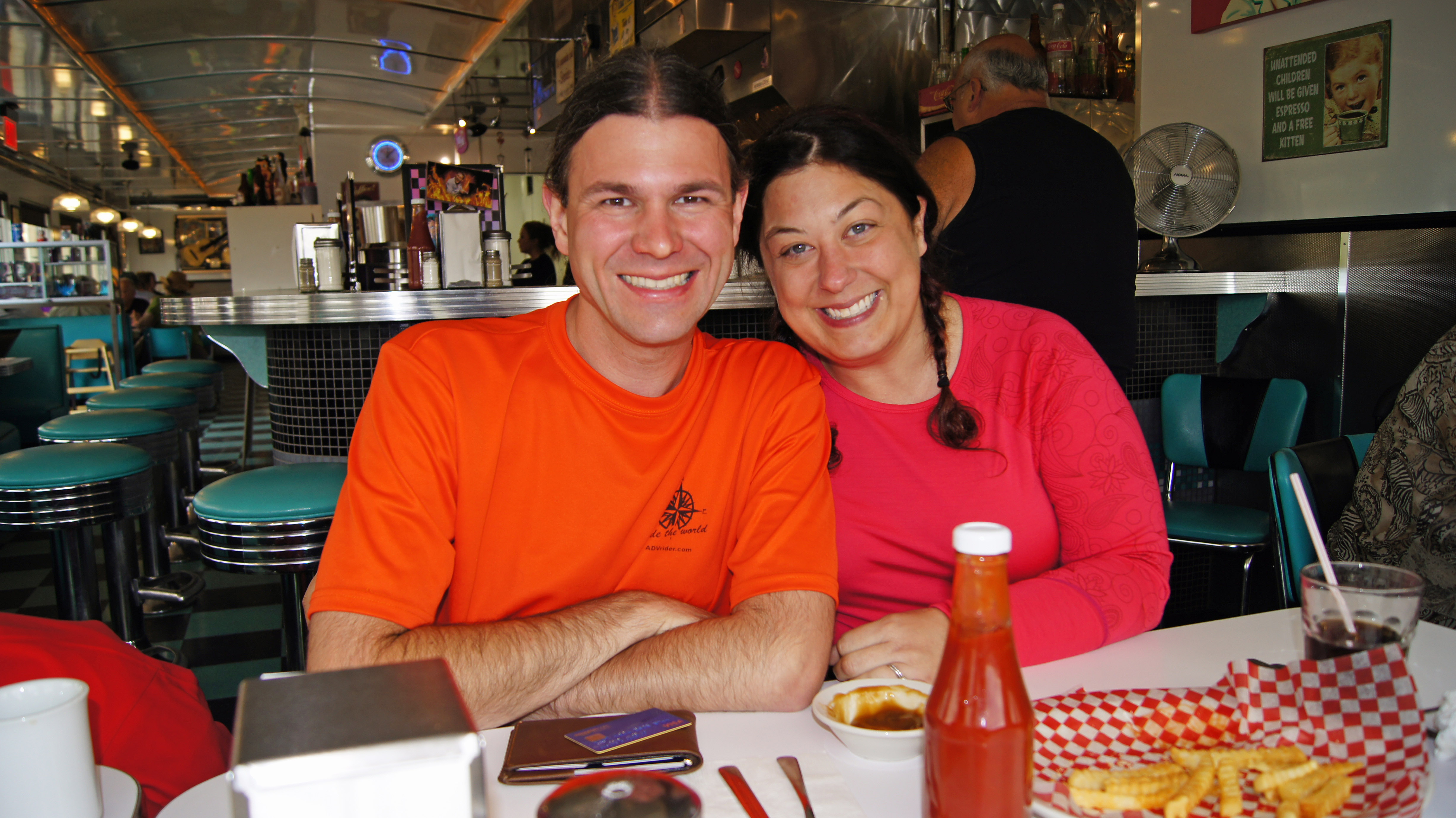
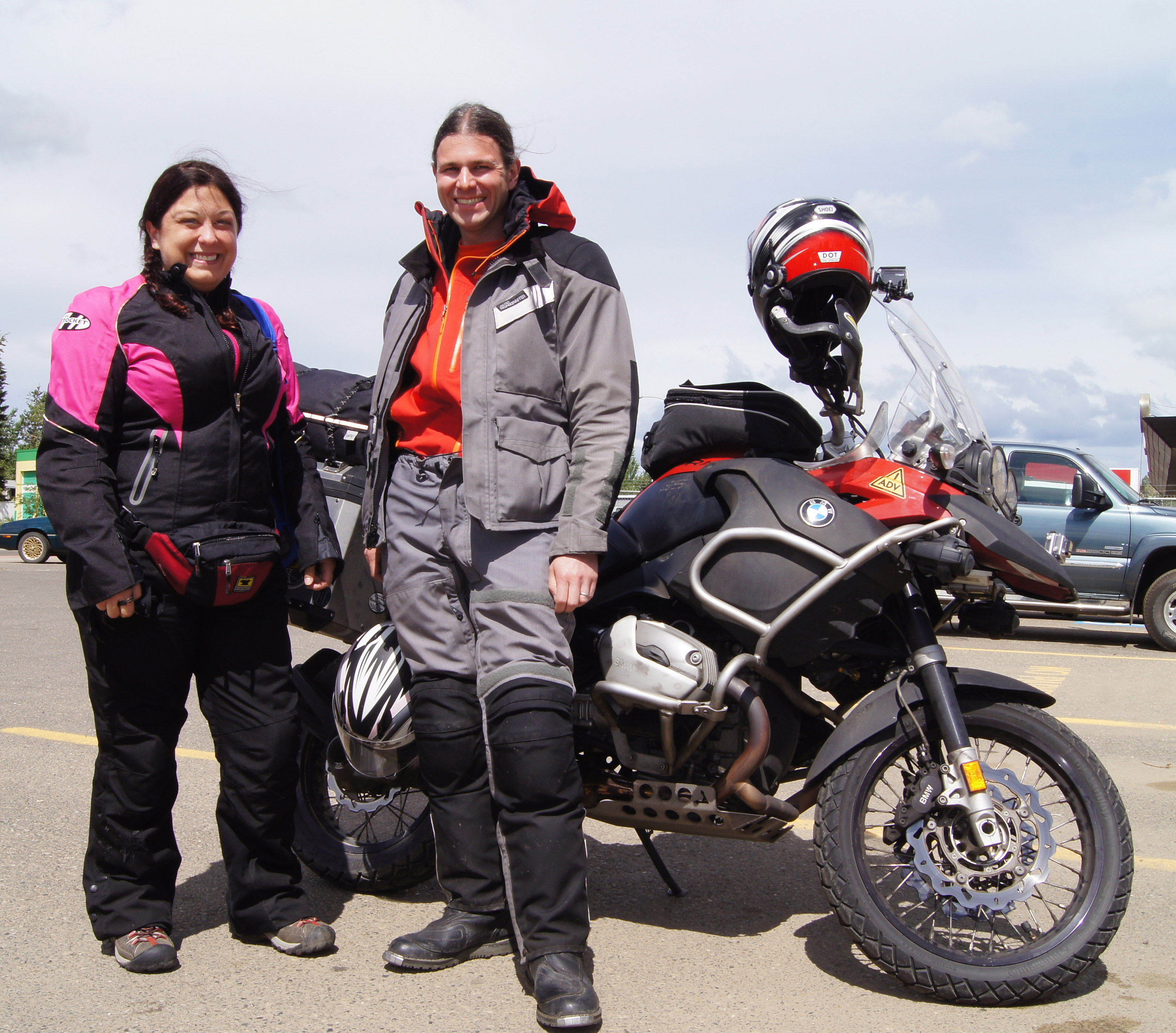
Stuie’s diner served as an inadvertent meeting place for George, Jenny and me. They’re motorcycling to Alaska during a 2 week vacation from Seattle and they’re camping all the way off of their BMW R1200GS.
Later while roaming the streets, I ran into a couple that’s ridden from Cancun, Mexico and are headed to Anchorage on their BMW 800GS.
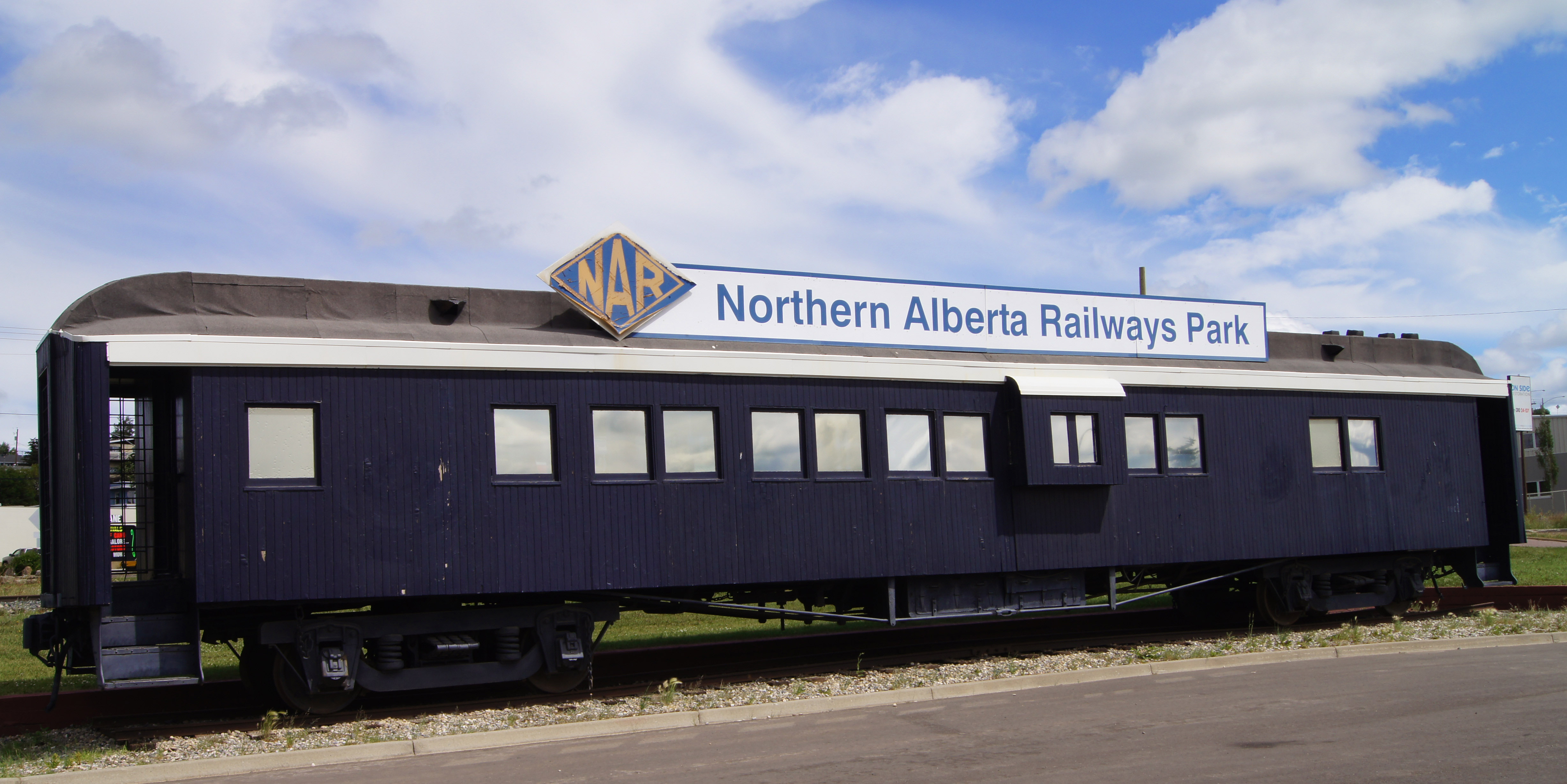
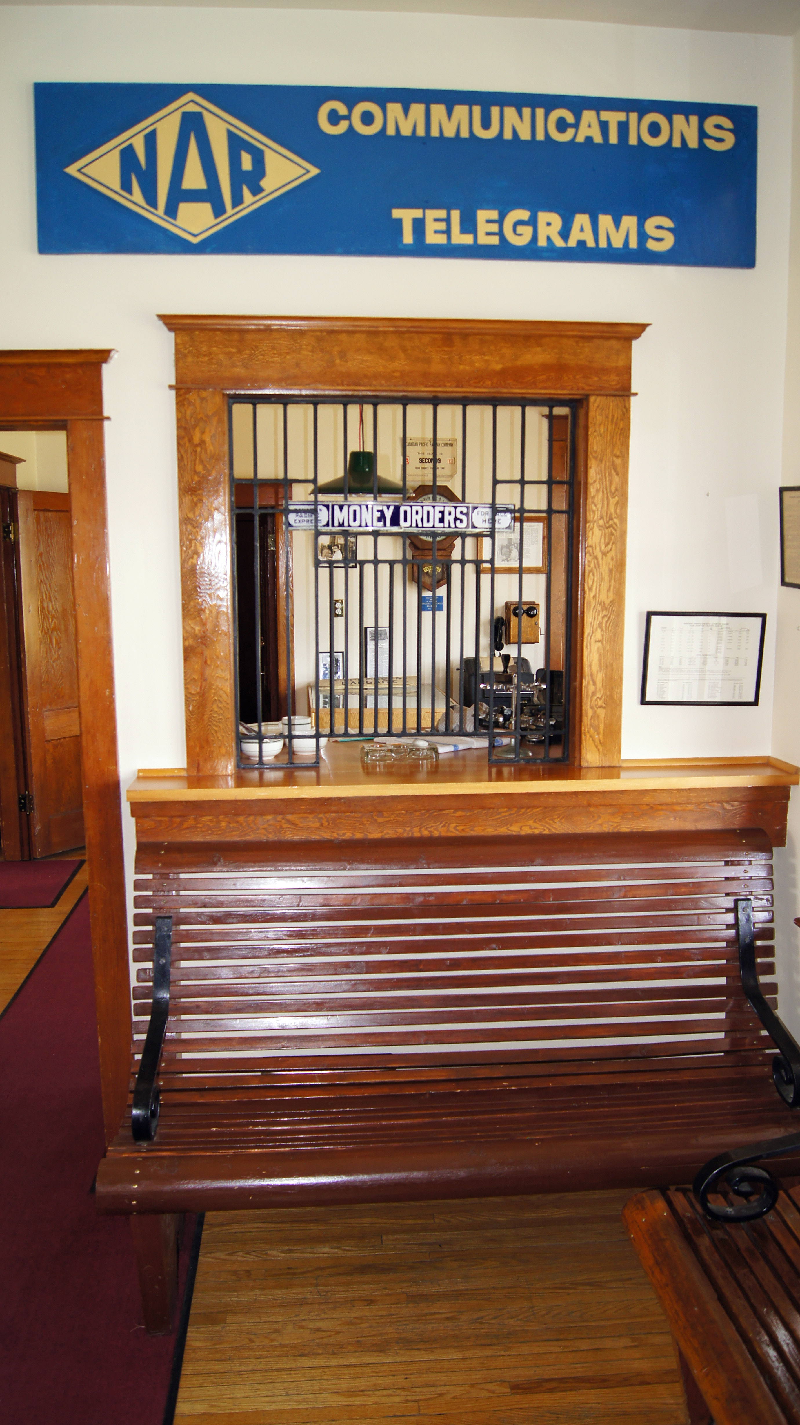
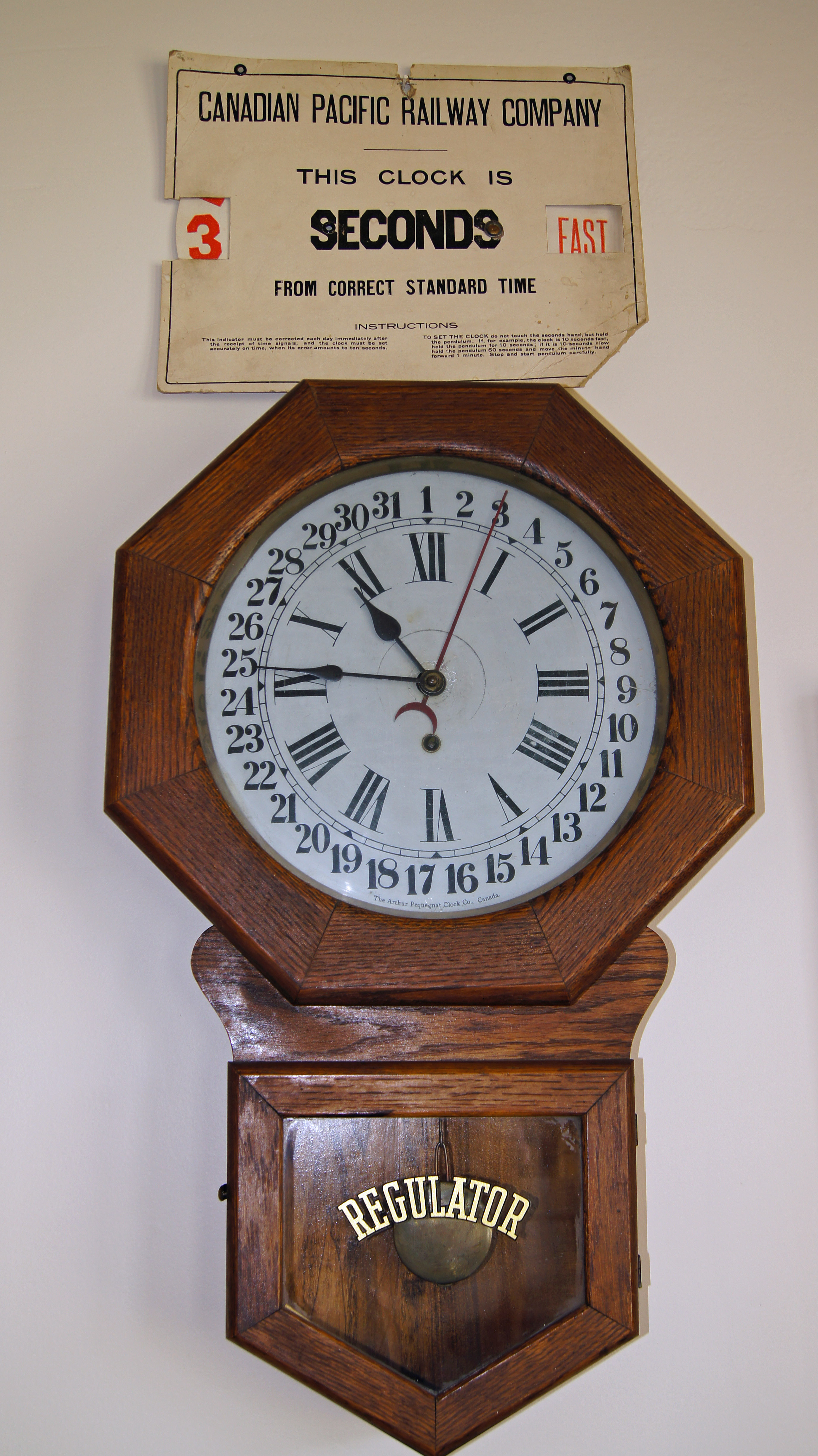
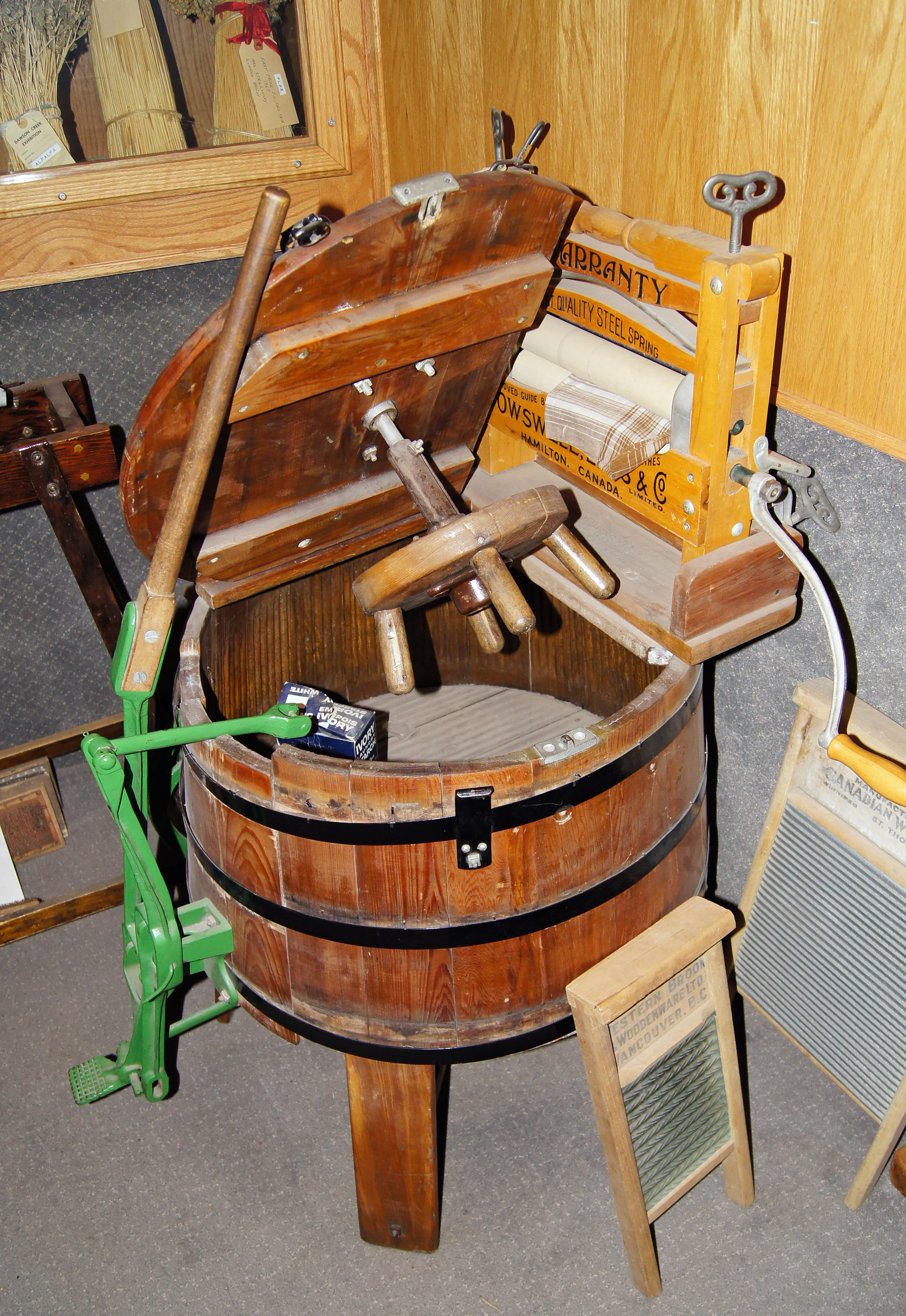
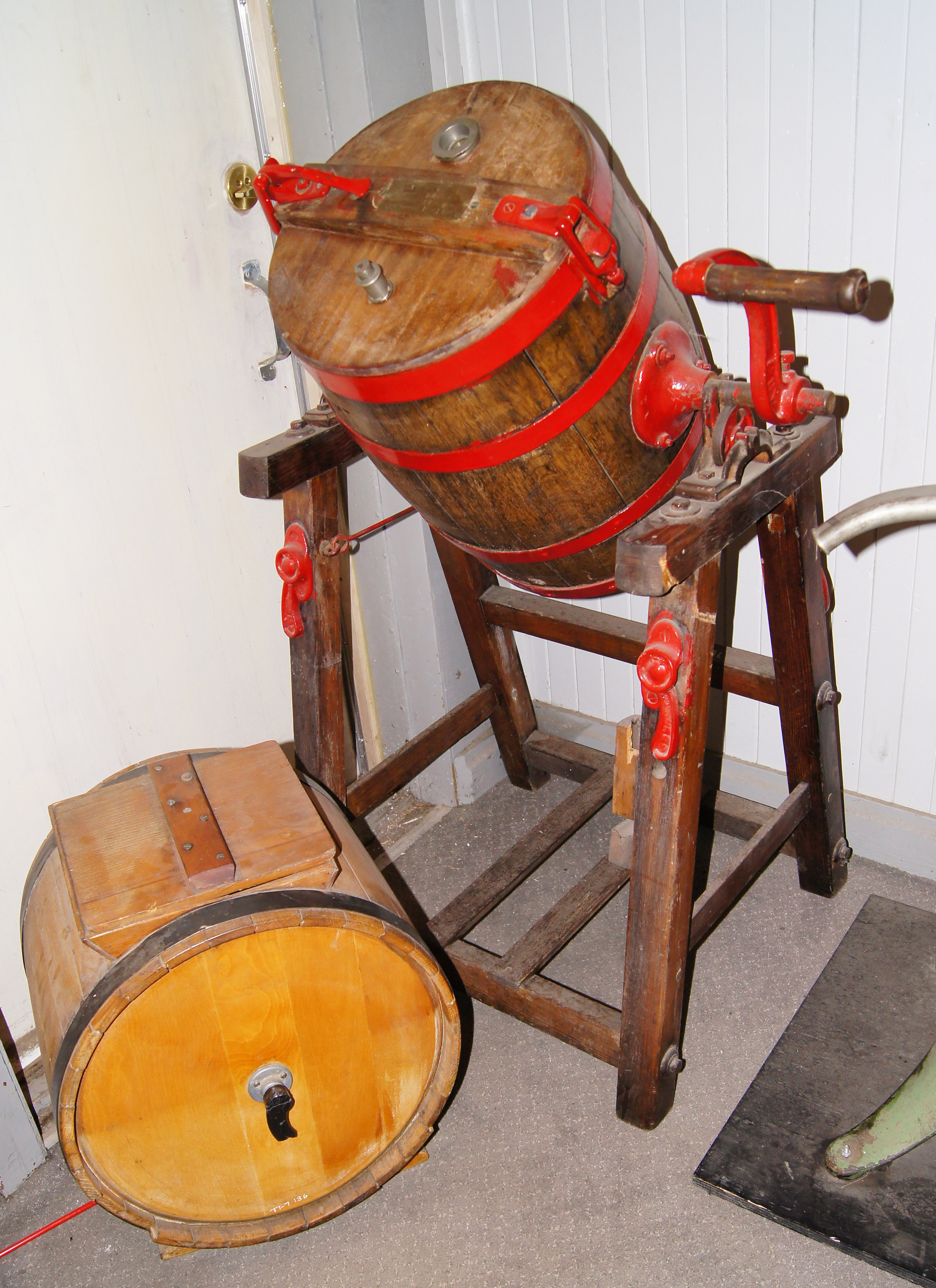
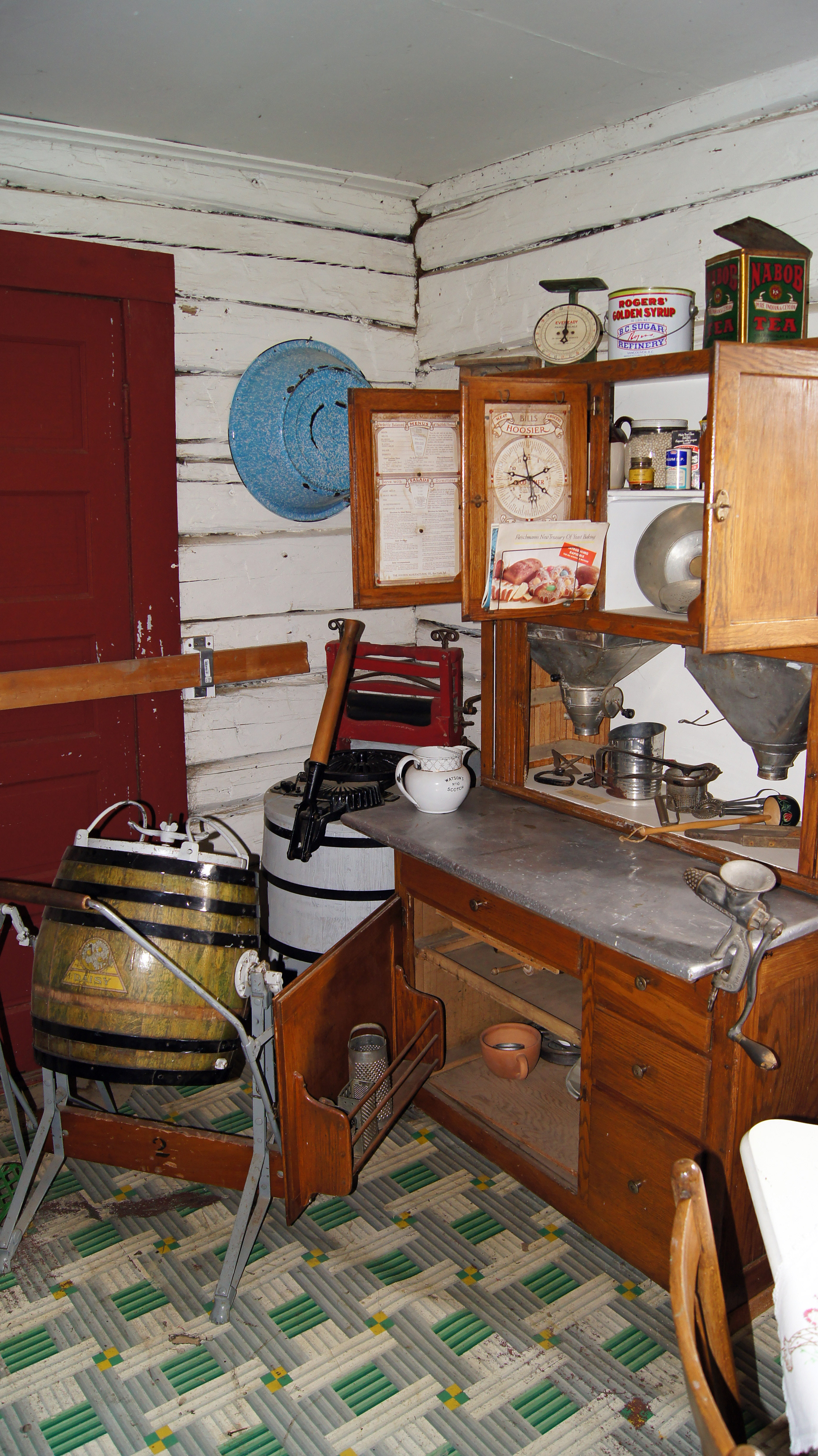
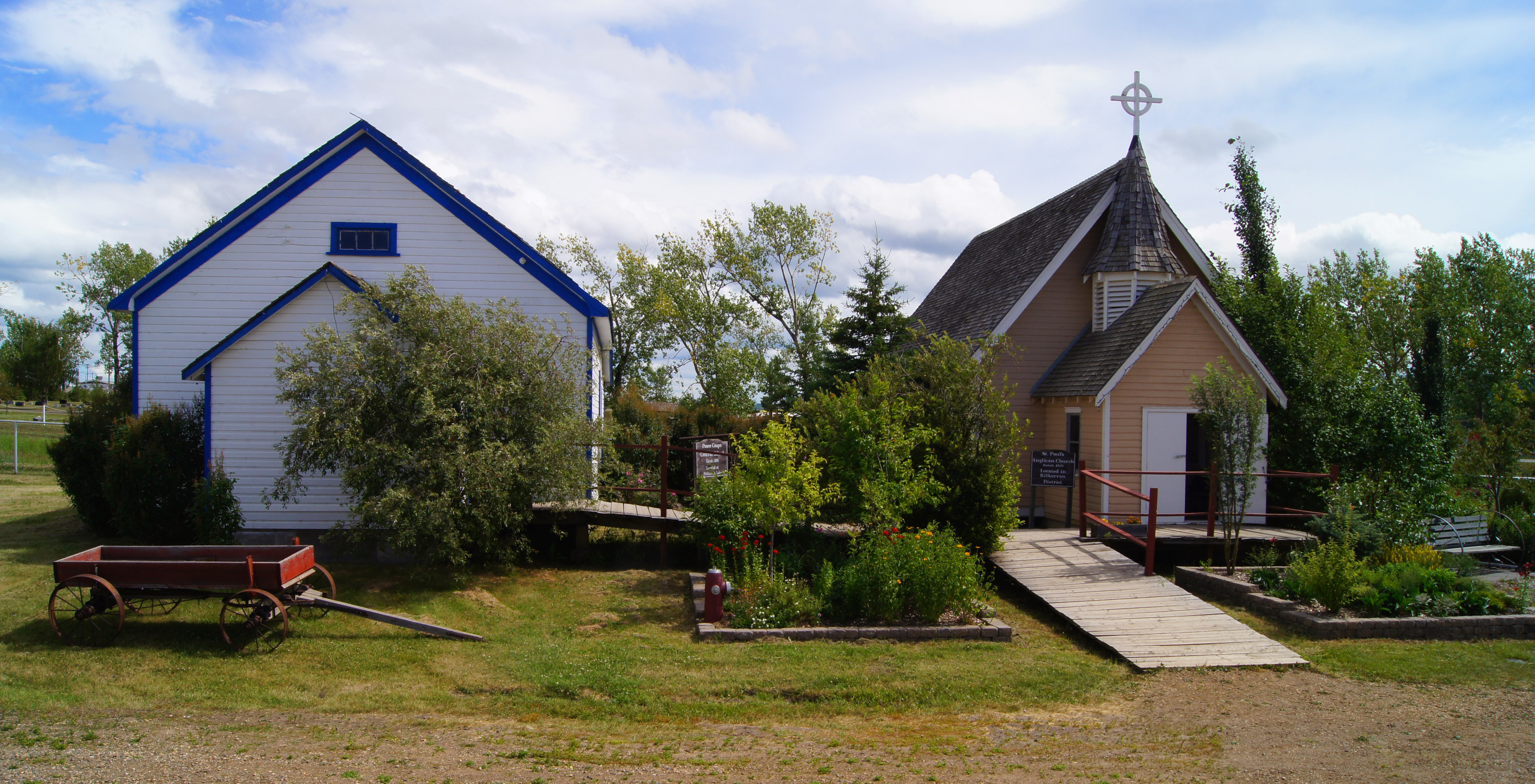
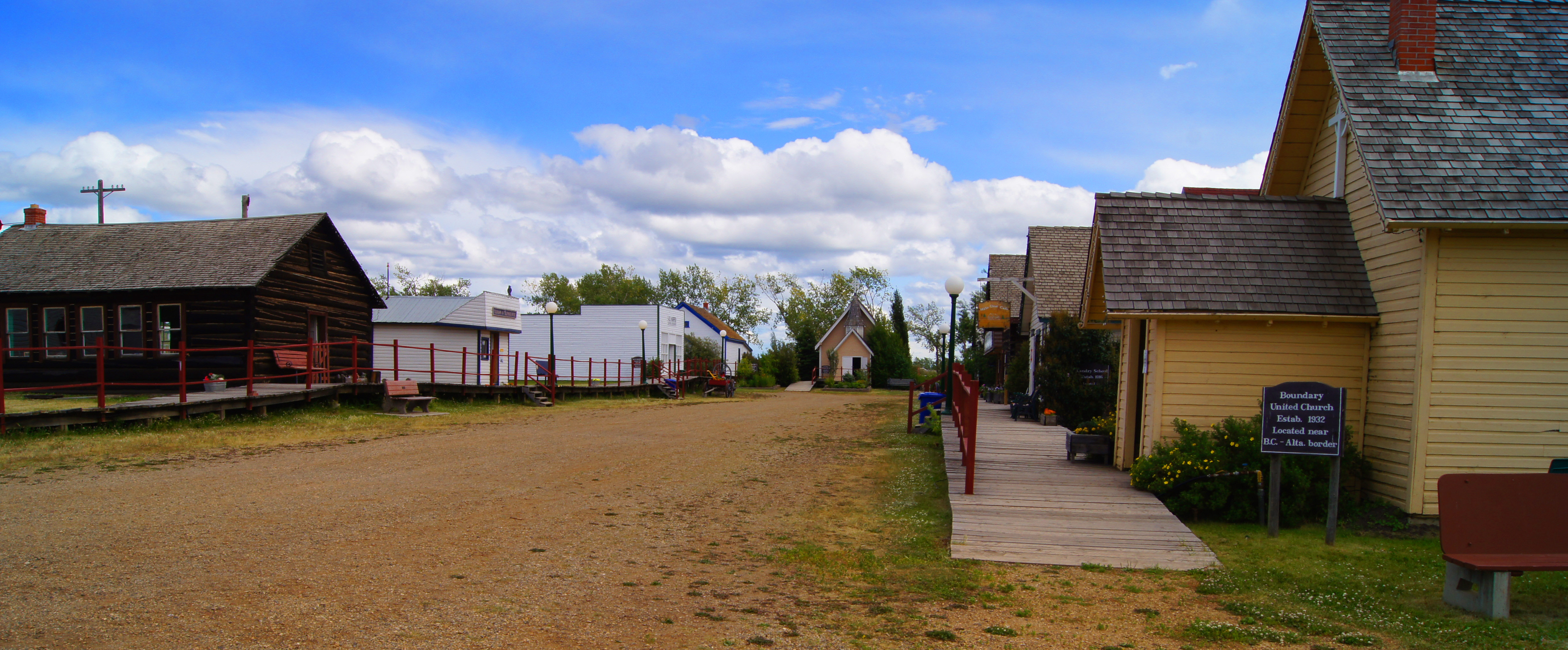
Being a tourist myself, I elected to burn a few hours touring the South Peace Historical Society Museum at NAR Park here in town. It’s a well-run, well-appointed facility.


A fine lunch of Canadian Tofu …

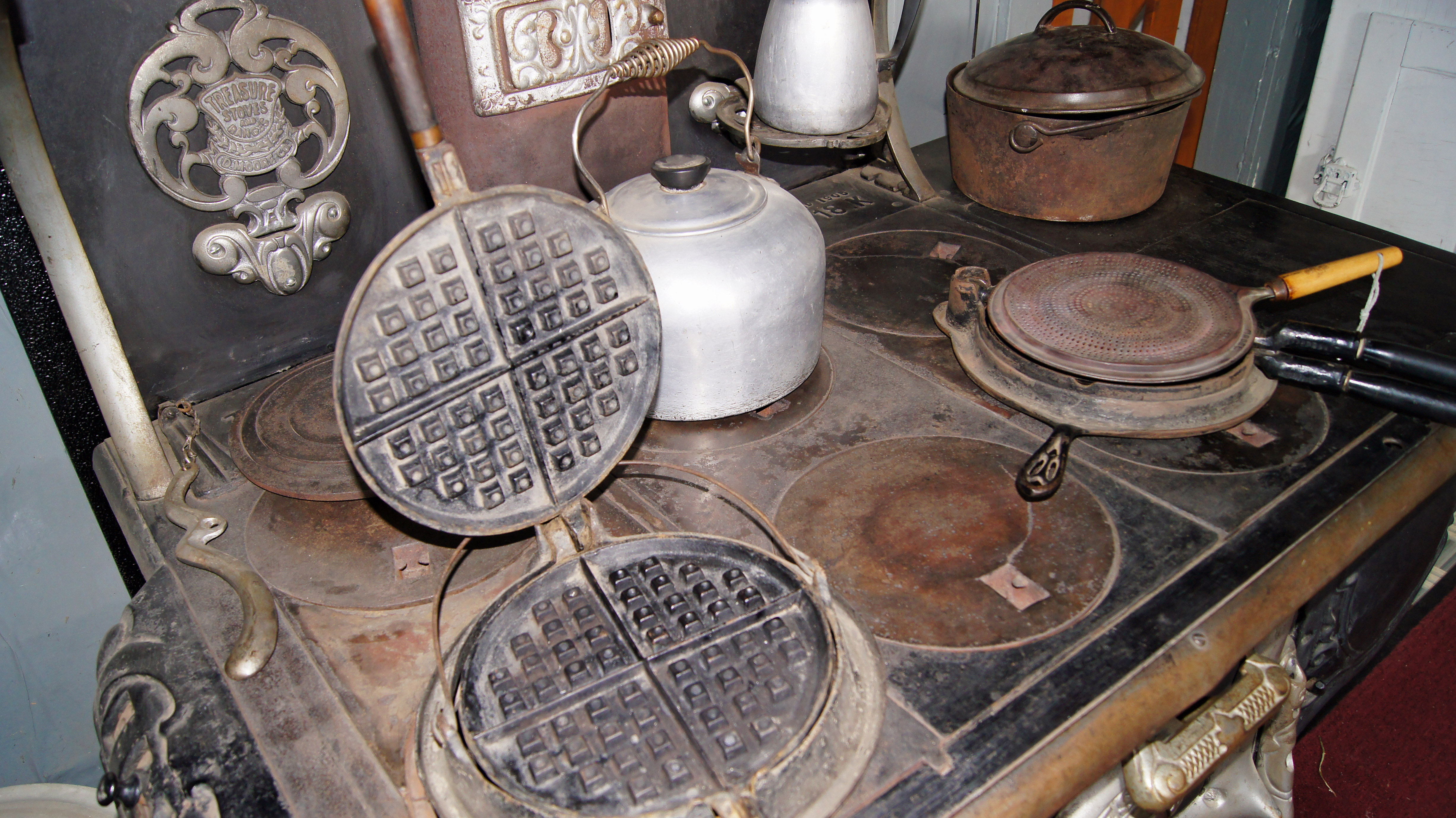
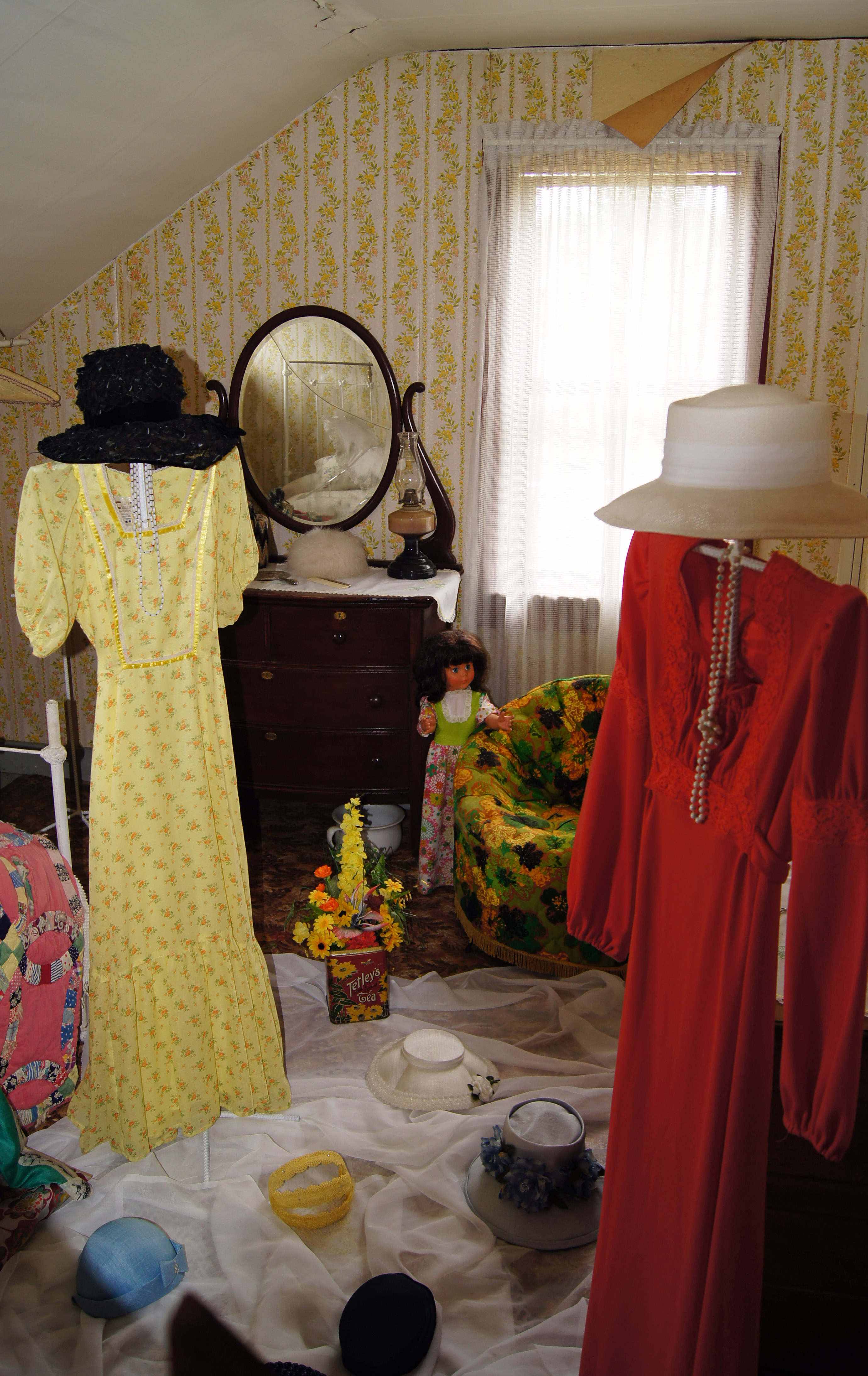
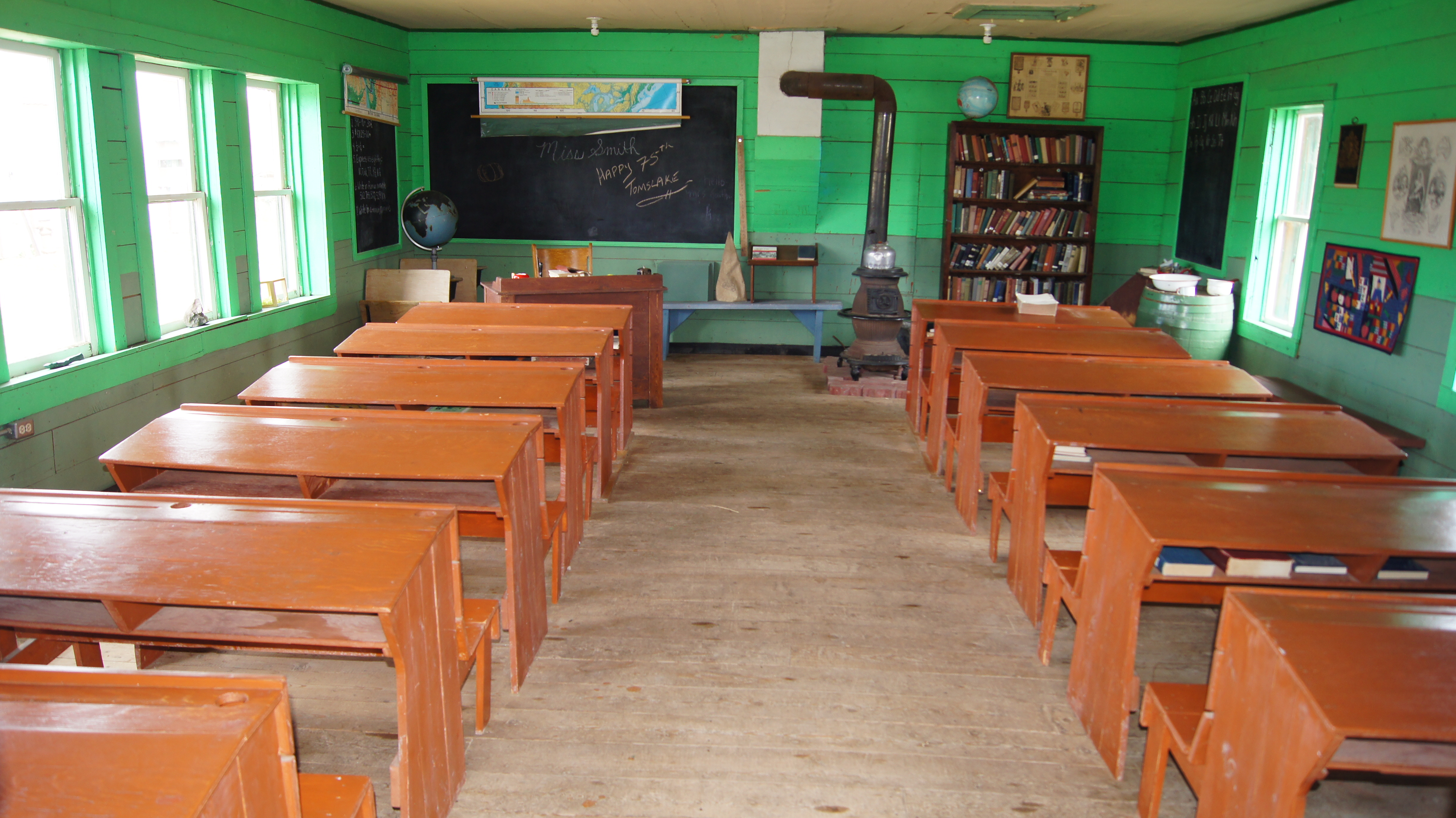
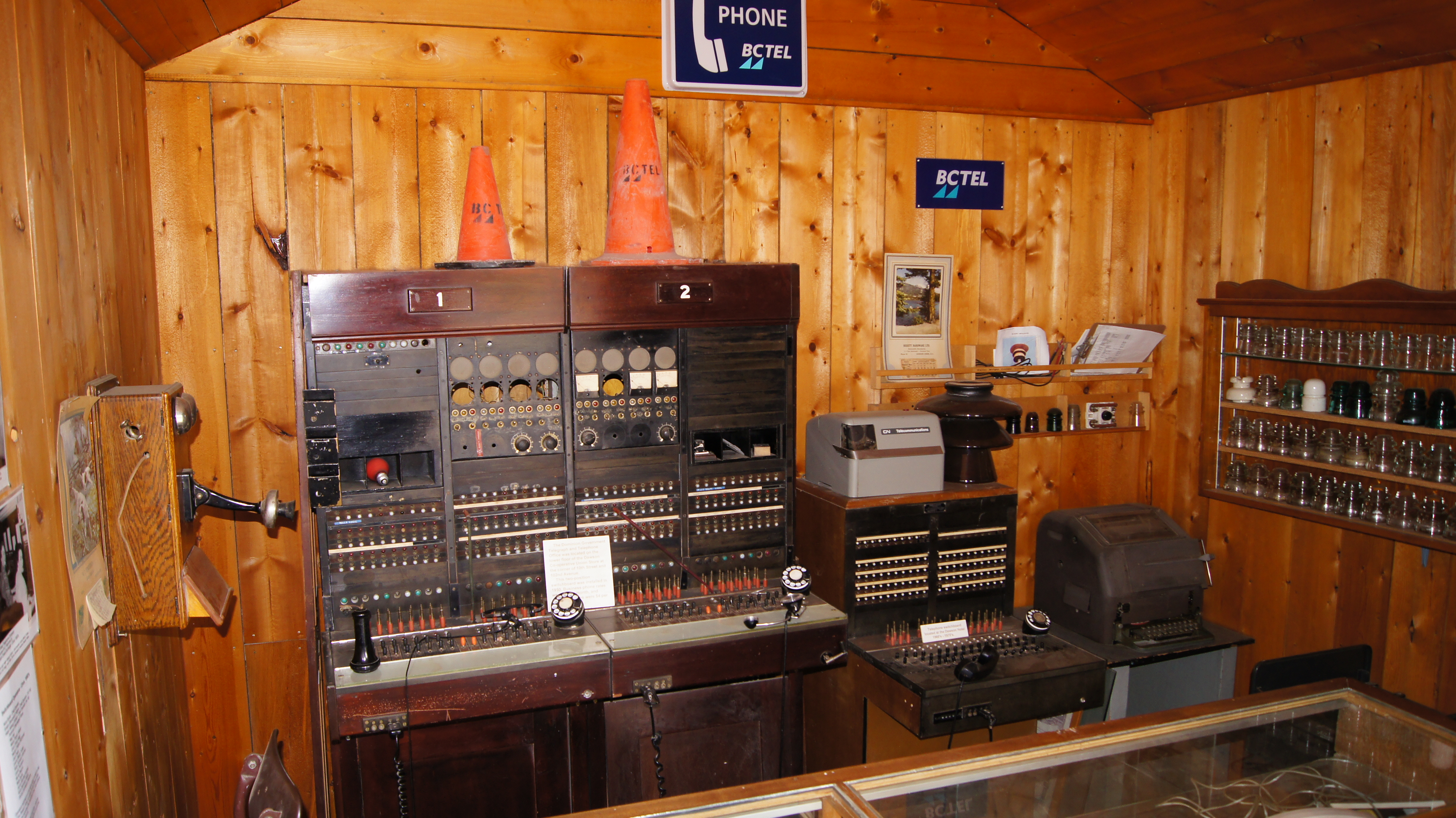
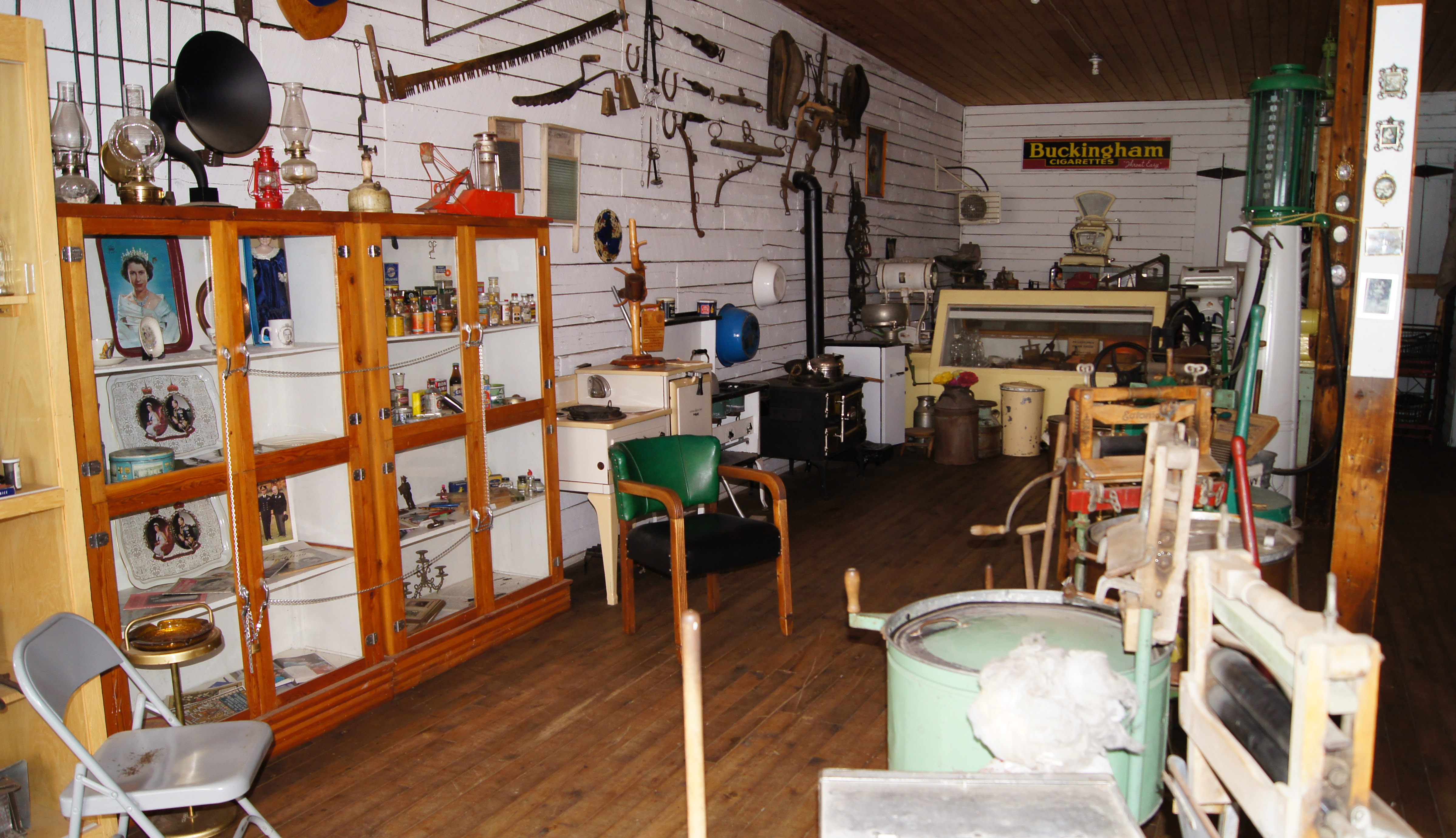
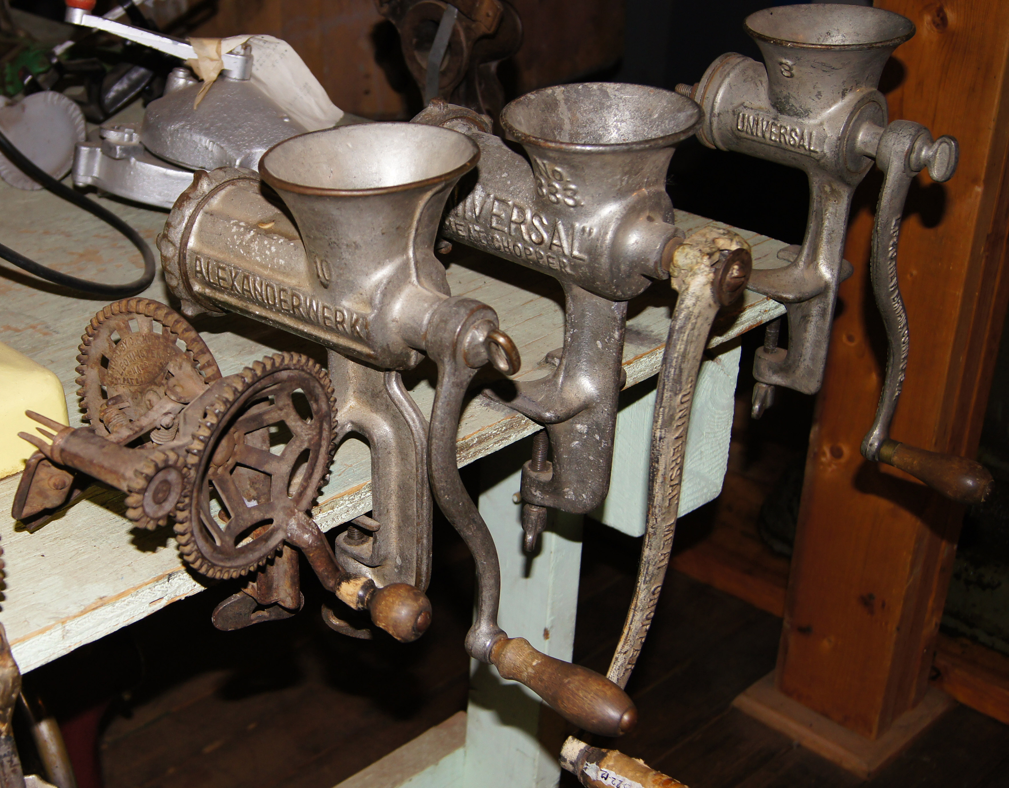
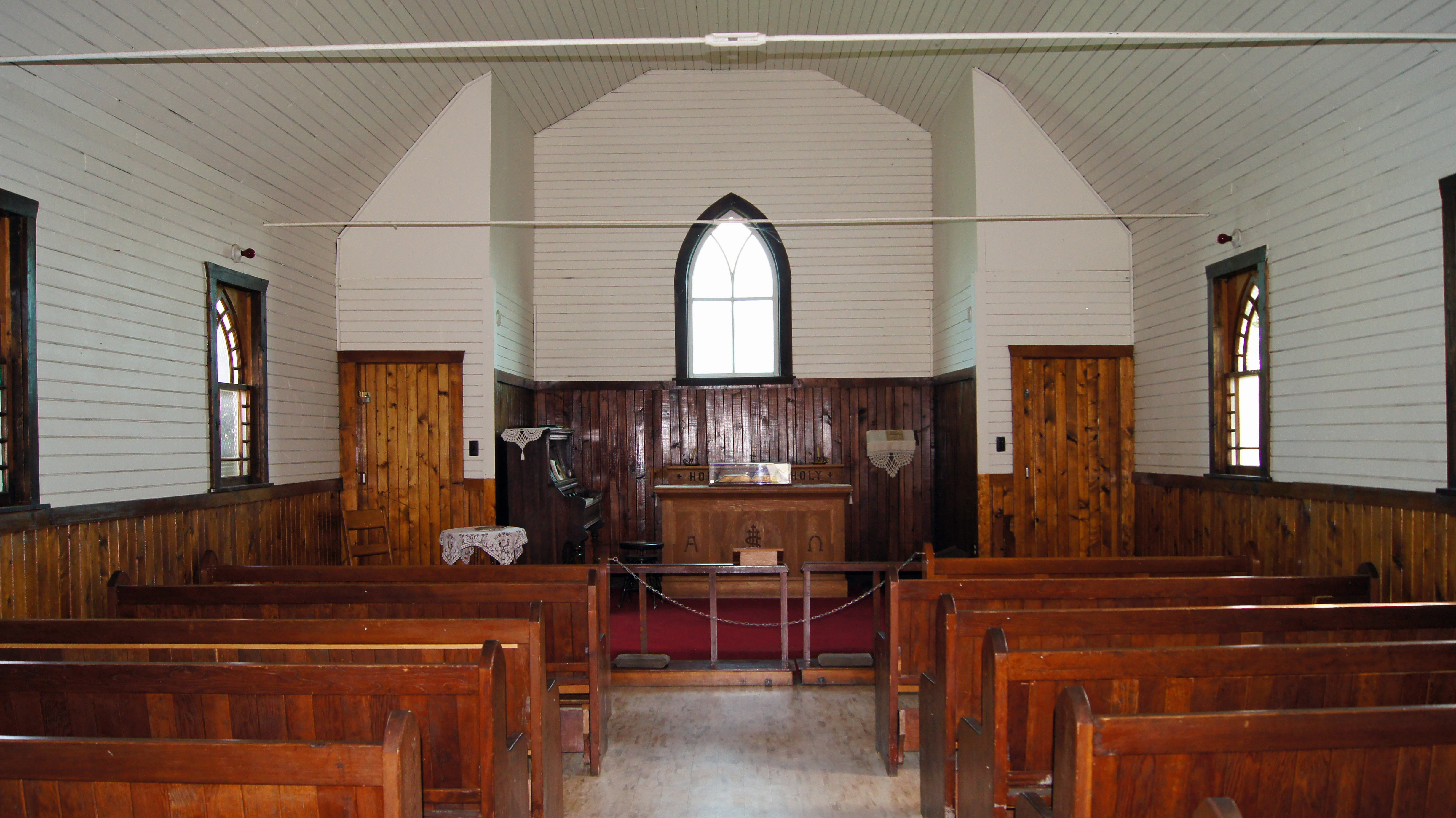
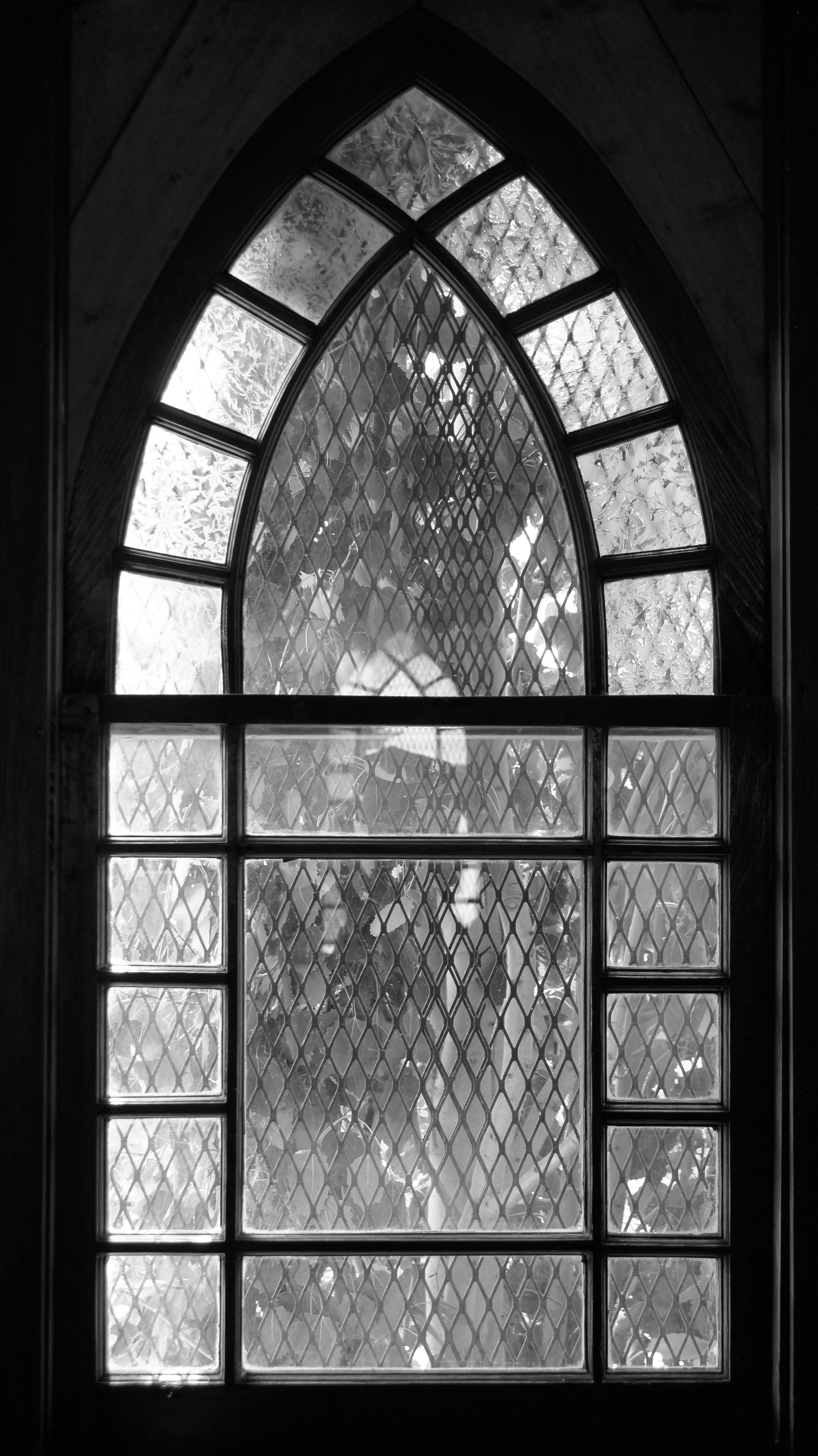
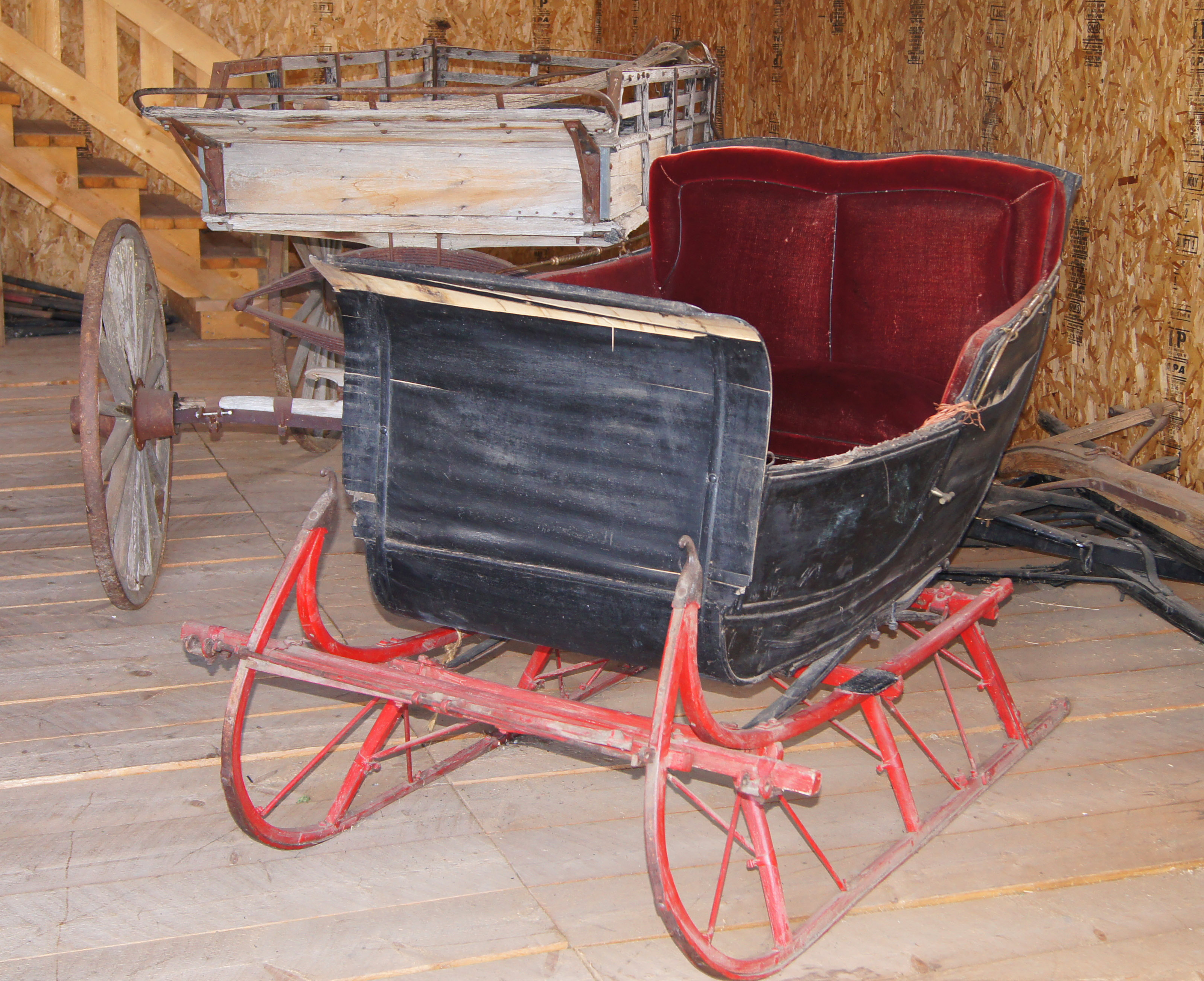
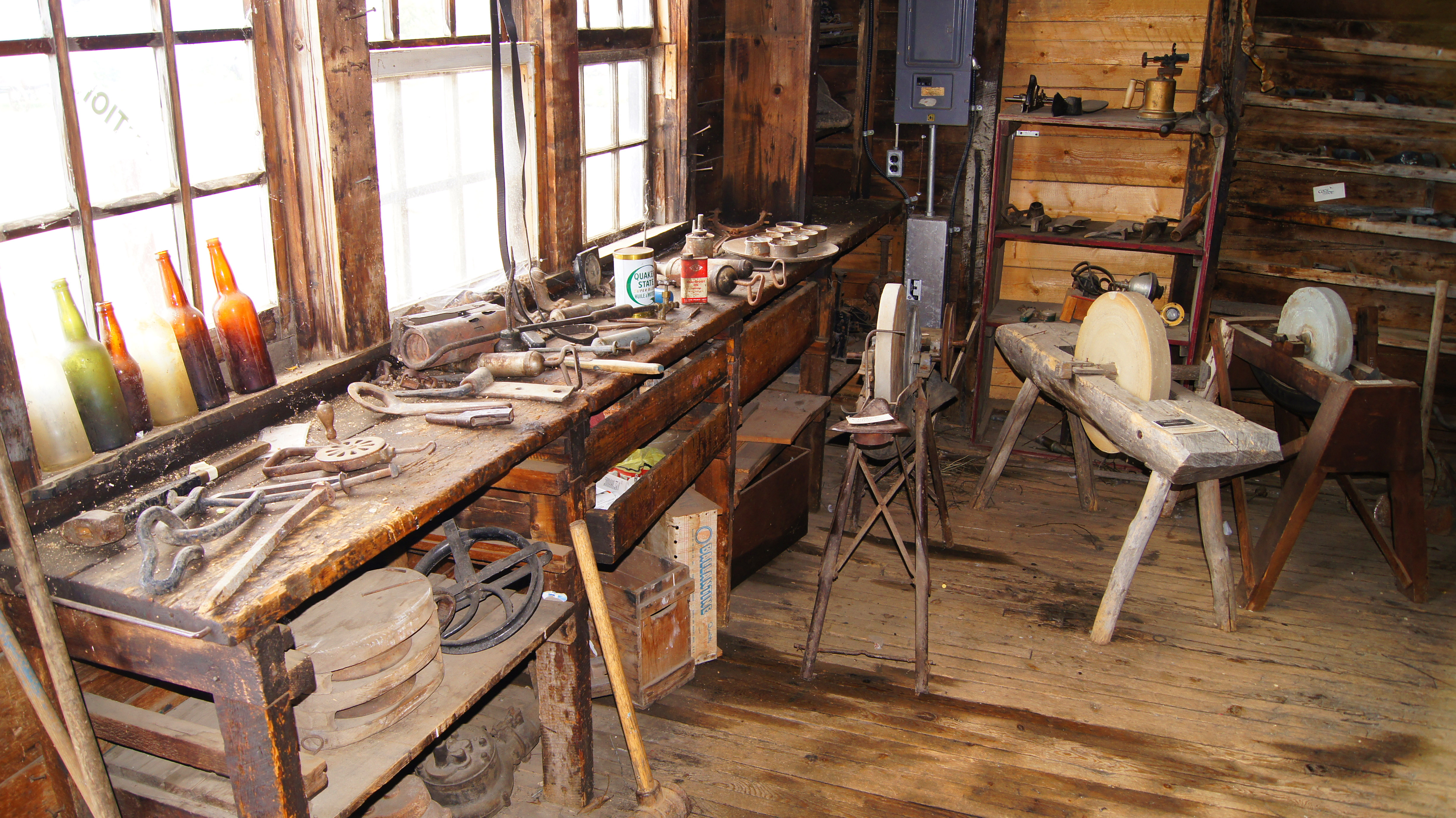
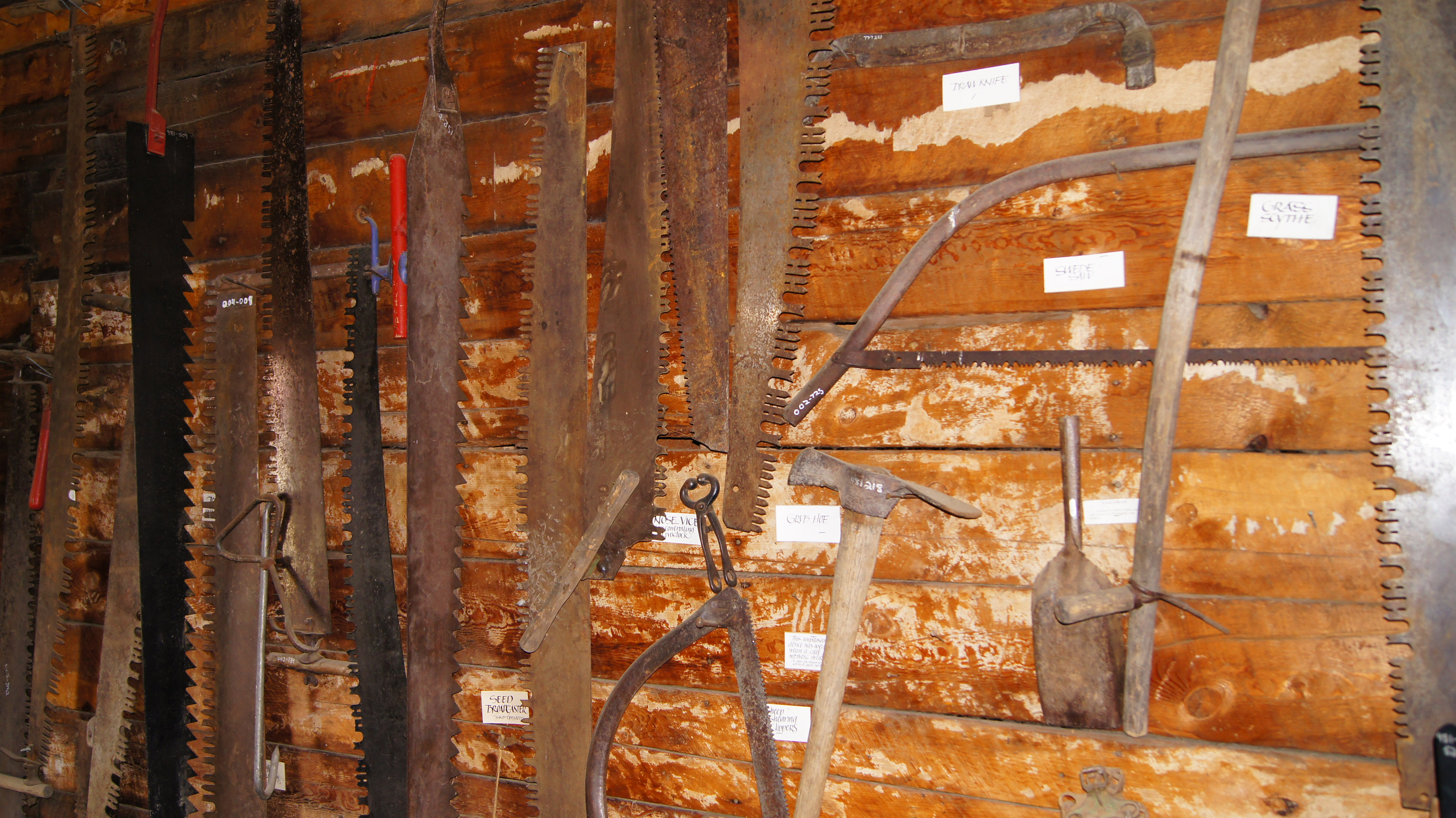
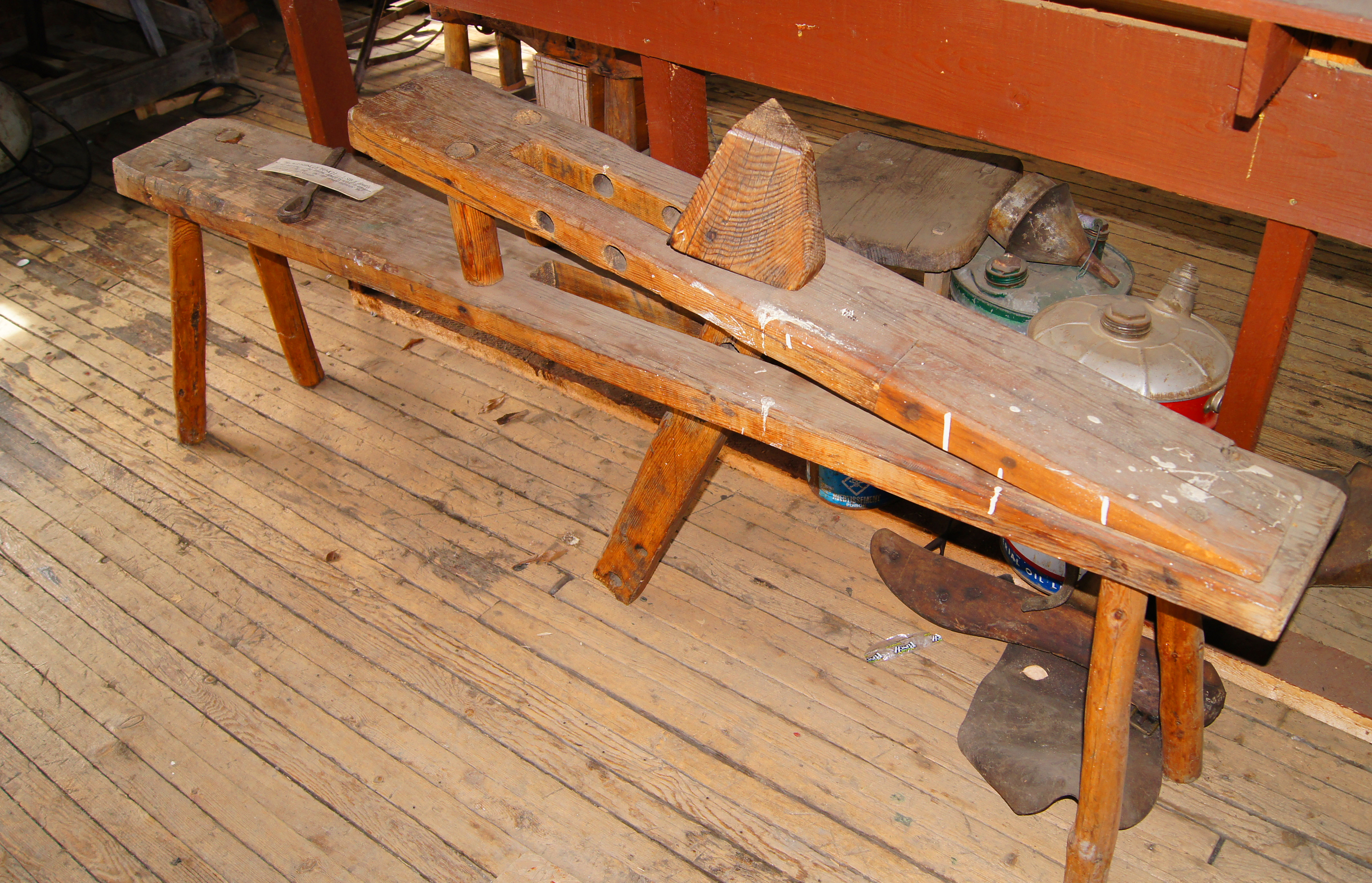
… and then I rode on over to the Walter Wright Pioneer Village. They have a pretty comprehensive collection of artifacts that describe the history of the surrounding area.


Home of Fred & Alice Taylor – 1828
Served as a way-point on the Spirit River Trail


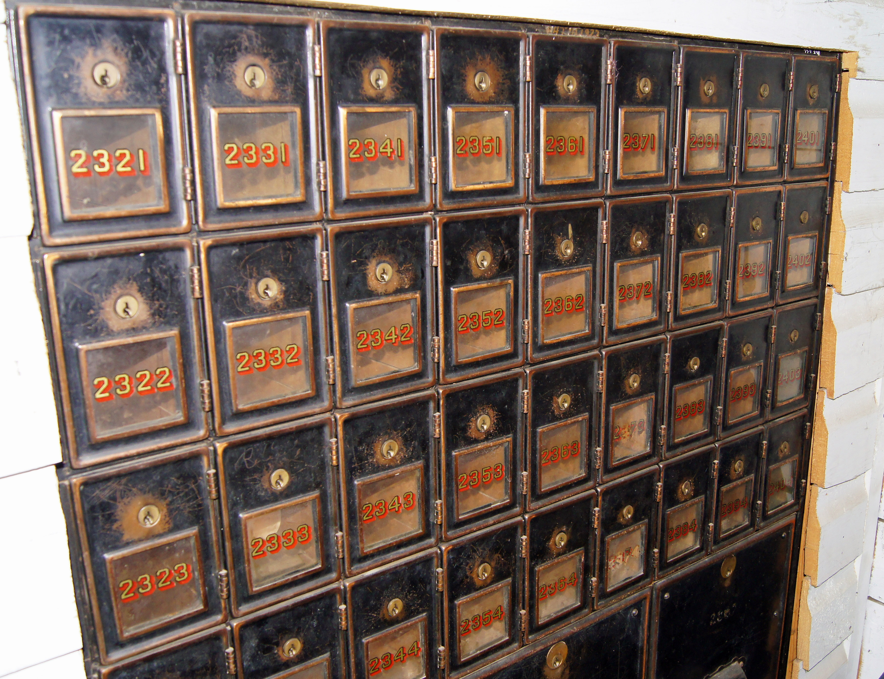
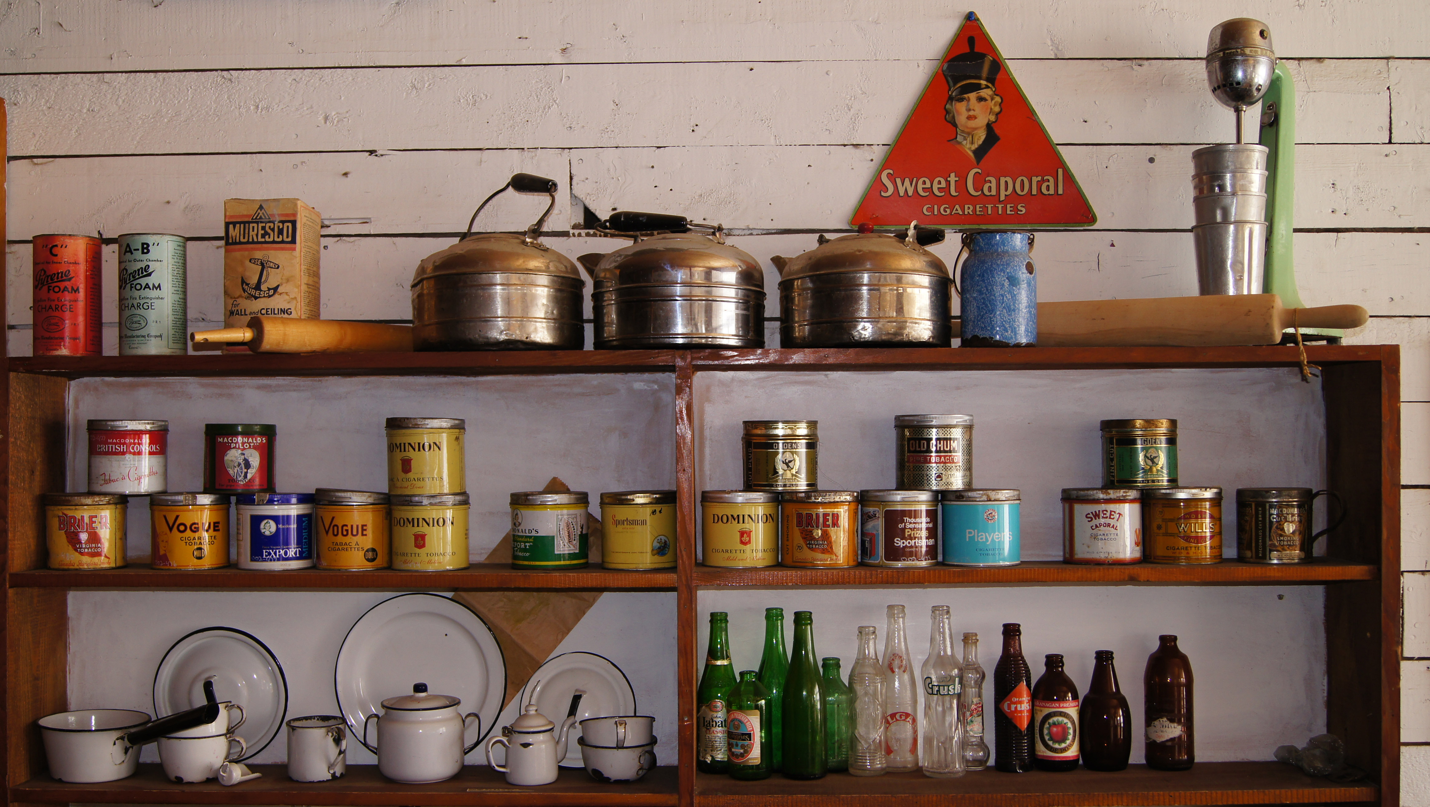
General Store – 1928


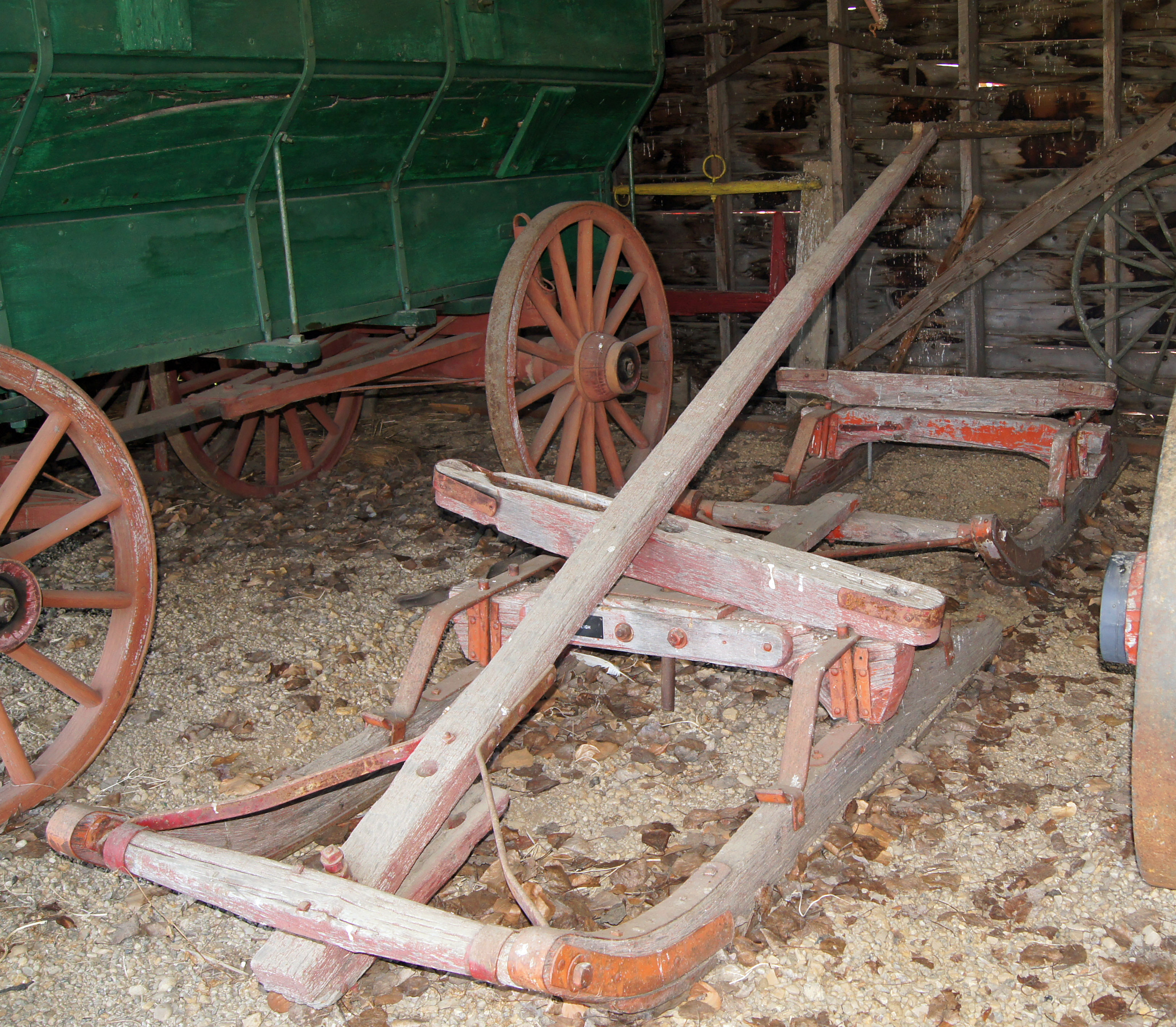

During busy threshing seasons in 1940s & 1950s, it served as a mobile bunkhouse and cookshack.


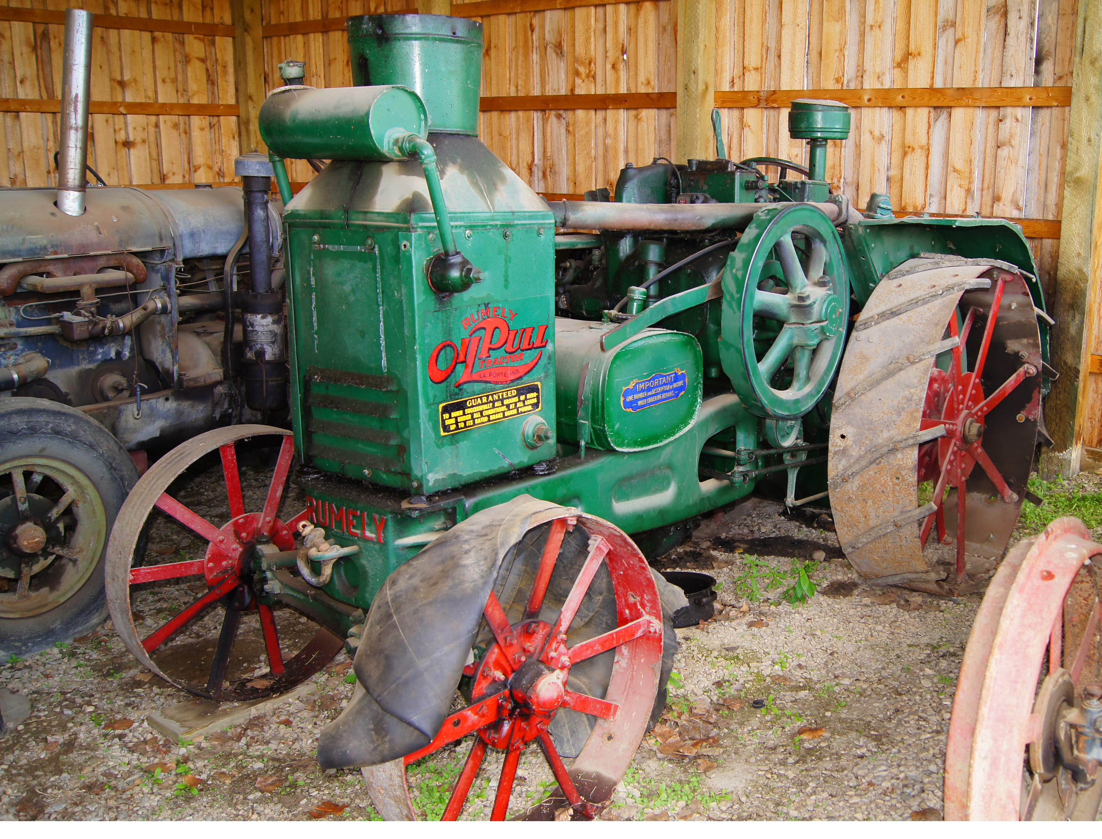
30 HP, gas got it started, more economical diesel was used for running.

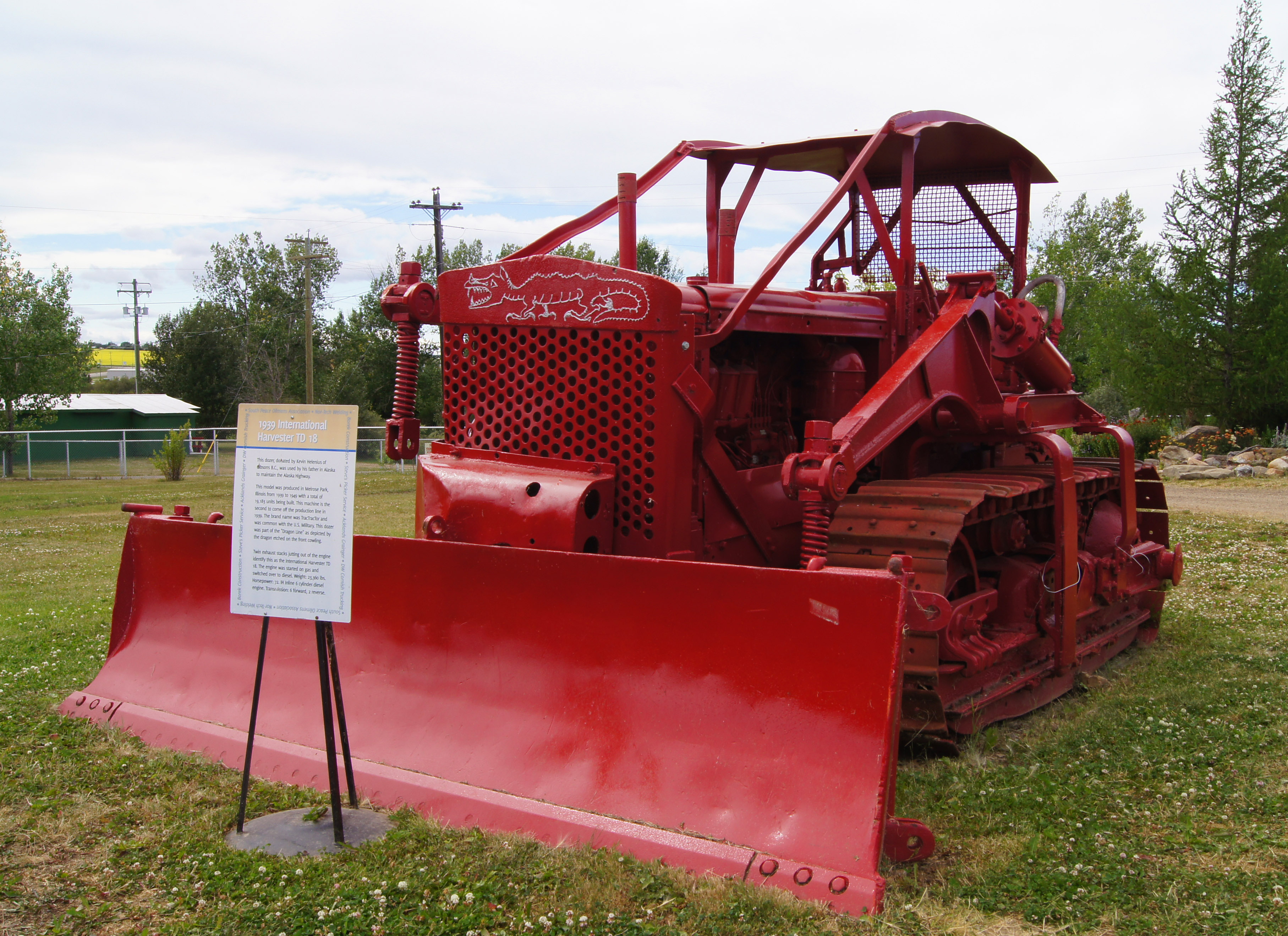
Used to maintain the Alaska Hwy in Alaska.


powered by common shaft
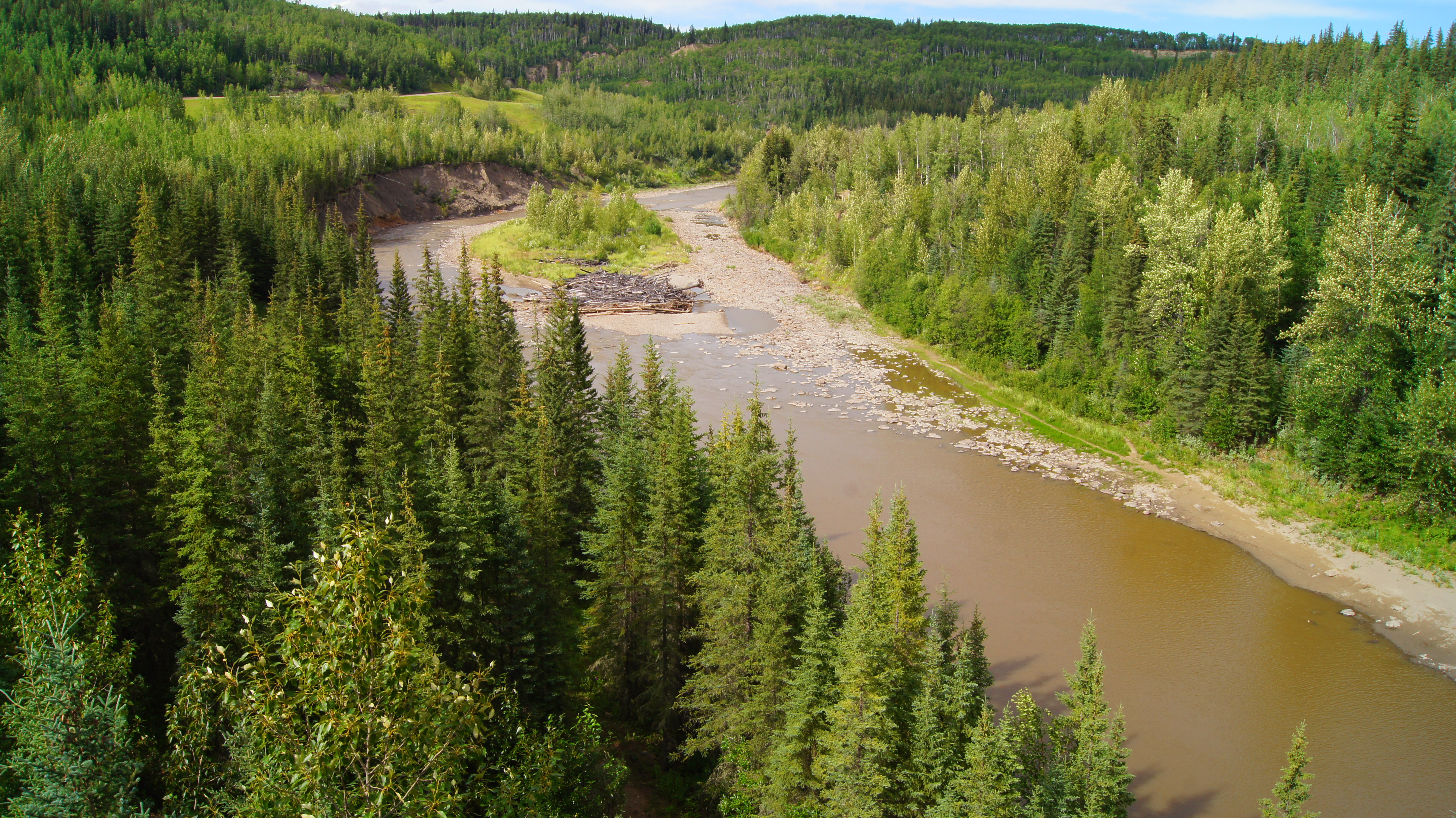
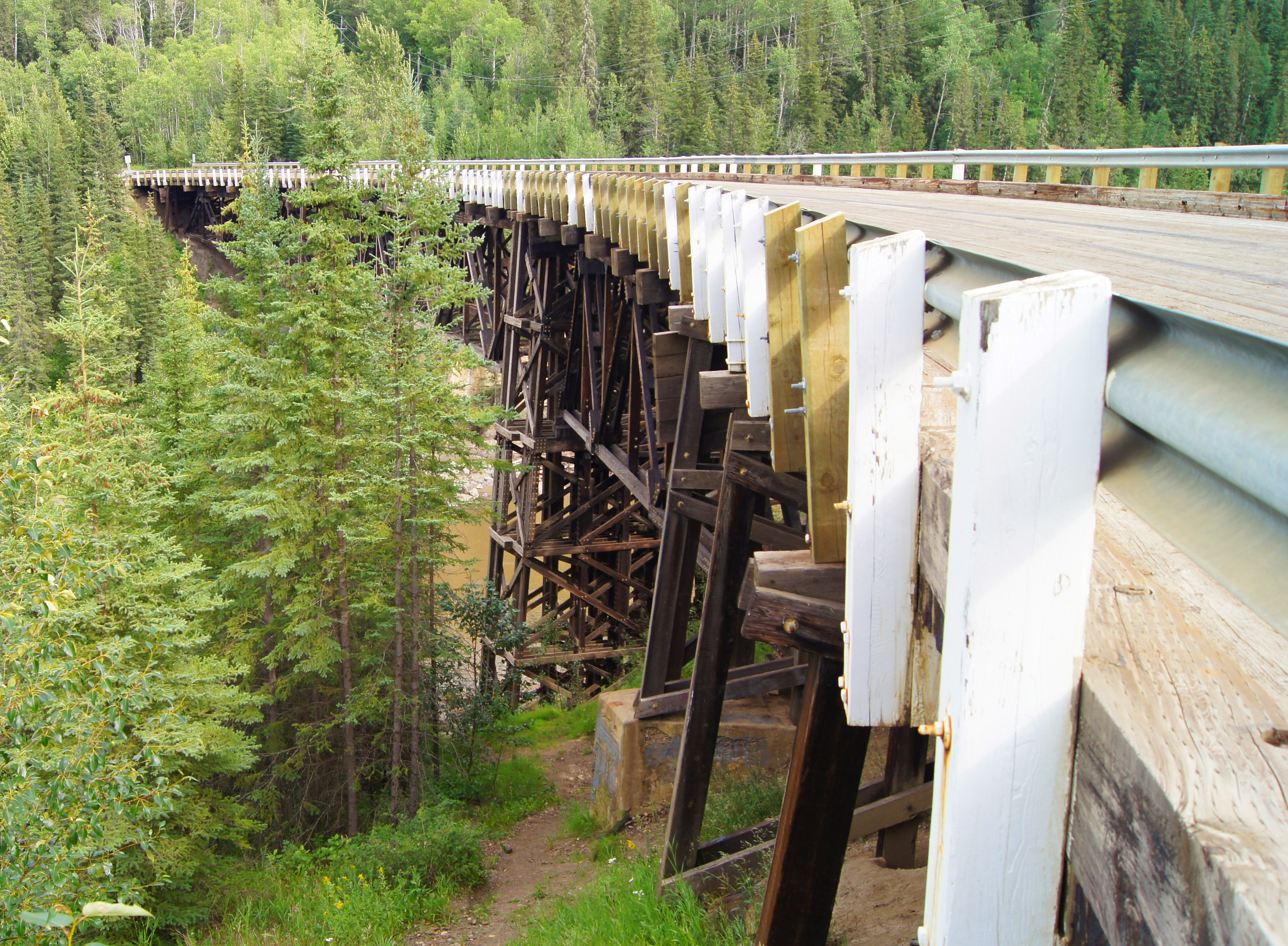
I couldn’t close out the day with at least a few miles on the Alaska Highway. Heading out of town to the north I found a turnoff to the Old AK Highway leading to the old wooden Kiskatinaw Curved Bridge. It was built in 1942 at mile 21 of the Old AK Highway. Initial orders were for the Army Corps of Engineers to expediently construct a pioneer road for military traffic from Dawson Creek BC to Big Delta AK. This meant fording streams and rivers expediently, if not permanently. It was the civilian contractors, following behind the COE, that were to make the improvements, such as building bridges. This civilian-constructed bridge is the only remaining wooden version, curving 9 degrees along its 534 foot length. After WWII, trucks with payloads exceeding the bridge’s capacity still had to go the “wet” route and ford the Kiskatinaw River directly. Oil and gas then started booming, so in 1978 the road was re-routed forming the New AK highway, diverting traffic away from this bridge. And that … is why this old wooden bridge has survived, to this day.


Now, with this Canadian phase of the journey completed, it’s time to turn toward the Alaska segment. My laundry is done, the new GPS routes are loaded and now it’s time to pack. Tomorrow should lead to Prince George BC. I’ll see y’all there.
Categories


Nice Pics. Keep them coming.
LikeLike
Hi Rich….just wanted to say it was nice to meet you in Rolla, BC Canada:)
Neat to see our neck of the woods from someone else’s perspective….when you grow up
with it all , it’s normal everyday things….but seeing it from your perspective gives it new life.
Safe travels. God Bless.
LikeLike
Thanks for some great pictures of pioneer history. Be safe.
LikeLike
Rich very cool about the wooden bridge!! And the neat museums I wish I was there🚗
LikeLike
You all could have been.
LikeLike
On the road again…. Safe travels, my friend.
LikeLike